Great Smoky Mountains National Park – Day 3
Good morning! After another extremely physical day, it was time to set our sights on a lighter day hike.
April 24th, 2019
I had reserved a campsite at Cosby Campground for 3 nights (Wed, Thu, Fri). This is where I would set up my tent, and sleep on Thursday or Friday night after I complete a 24 mile mega loop of Mount Guyot.
After seeing the weather report (rain was due in on Thursday night, and all day Friday with a 95% chance), I took immediate action and canceled the last two nights at the campsite. Having done so, I had to revise my plan as I was now not going to be doing a 2-3 day backpacking expedition. Instead, I found a 13.8 mile smaller loop of the same area. I thought, why not, let’s do it!
I headed over to Cosby Campground. It was about a 40 minute drive, as it was on the other side of the park.

I arrived and went directly to my campsite. It was located in the very rear, closest to the trailhead. I strategically planned it this way, so that I could have instant access to the trail. I grabbed my day pack which was loaded with 1.5L of water in the bladder, 2 bottles of water, a banana, and 2 CLIF bars. I also had a freshly opened can of Bang in my hand.
The forecast was near 85 and sunny. I still wore pants due to the mosquitoes, and unfamiliar territory. The REI Sahara rollup pants were perfect for this. Thin in structure, they are wind and water resistant. Truly made to handle hot weather with adequate ventilation.
Low Gap Trail
(roughly 3-ish miles)
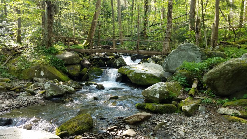
I began the mega loop on Cosby Horse Trail. It went .3 miles to a portion of Snake Den Ridge trail, and then about .2 miles to Low Gap Trail. Most of that was on cinder stone, but with a steady incline. You then enter Low Gap Trail. There was nothing low about this portion of Low Gap Trail. It was all uphill. All 2 or so miles of it. There were no leveled off spots. To see a local woman coming down at me, and soaked completely from head to toe, really told the story. She said, “Whelp, didn’t make it to the top once again. One day I will.” She wished me luck. I sure needed it. I had to stop and catch my breath 3 or 4 times. Talk about an insane incline. This one hosed me hardcore.
I felt I had climbed three or four thousand feet already when I came to a field of flowers. I then took note of the aerial life covering it. Aka, bumblebees. I kept trekking through on the trail, and suddenly the bees got their territorial senses on and started buzzing around me to shew me away. It worked. Thoroughly exhausted, I started running at full speed. In about 500 feet, I reached the top of the trail that intersects with the AT.
At this intersection, there were two AT hikers sitting down taking a break. One was an older gentlemen, and the other was a younger 20-something year old female from WV. The older gentlemen about hopped off his chair in amazement and said, “Wow! Now that’s what I like to see, running up the trail! Dude, you’re an animal, beast mode!” I had to laugh.
Then there was this female. There is not a language filter in the world to help her. Her trail name is Babbles. Beware. The gentlemen couldn’t help but be amused by her words and actions. I believe it drove him so bonkers, that he took off his hiking boots and put on his crocs. Then picked up his 56lb pack, and went on. Yes, 56lbs. Good thing he was 6’2, and built. You read that correctly, he was hiking in his crocs. Happy Trails my friend!
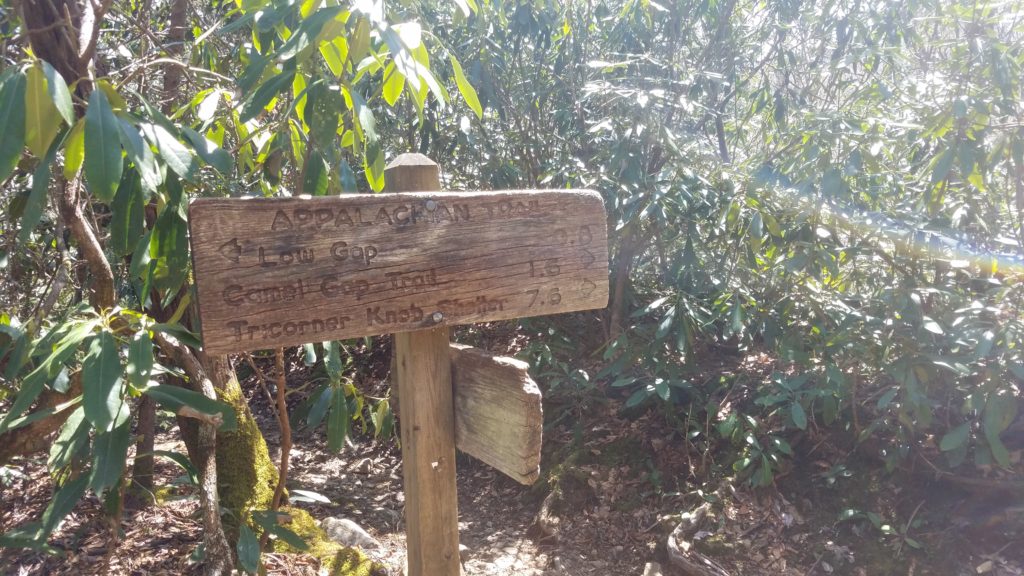
I continued on and eventually came to this clean cut part of the AT.
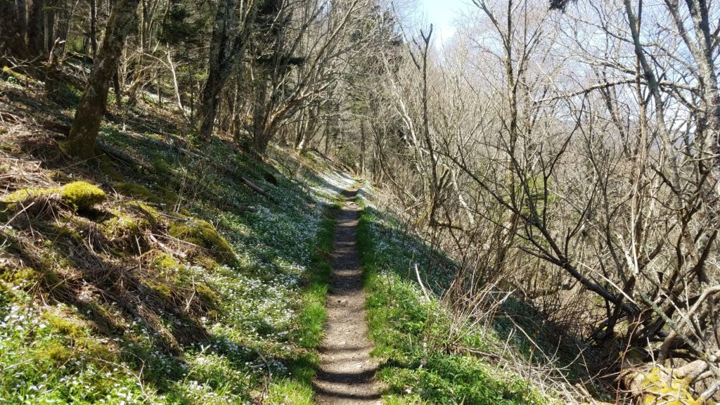
Here comes the best part of my trip.
I came around the bend, and further uphill on the AT. In the distance, I see this girl approaching me. After a second look, I remembered her and she remembered me from yesterday. Everyone, meet Shannon. A 24 year old hiking solo to Maine. Happy Trails my friend!
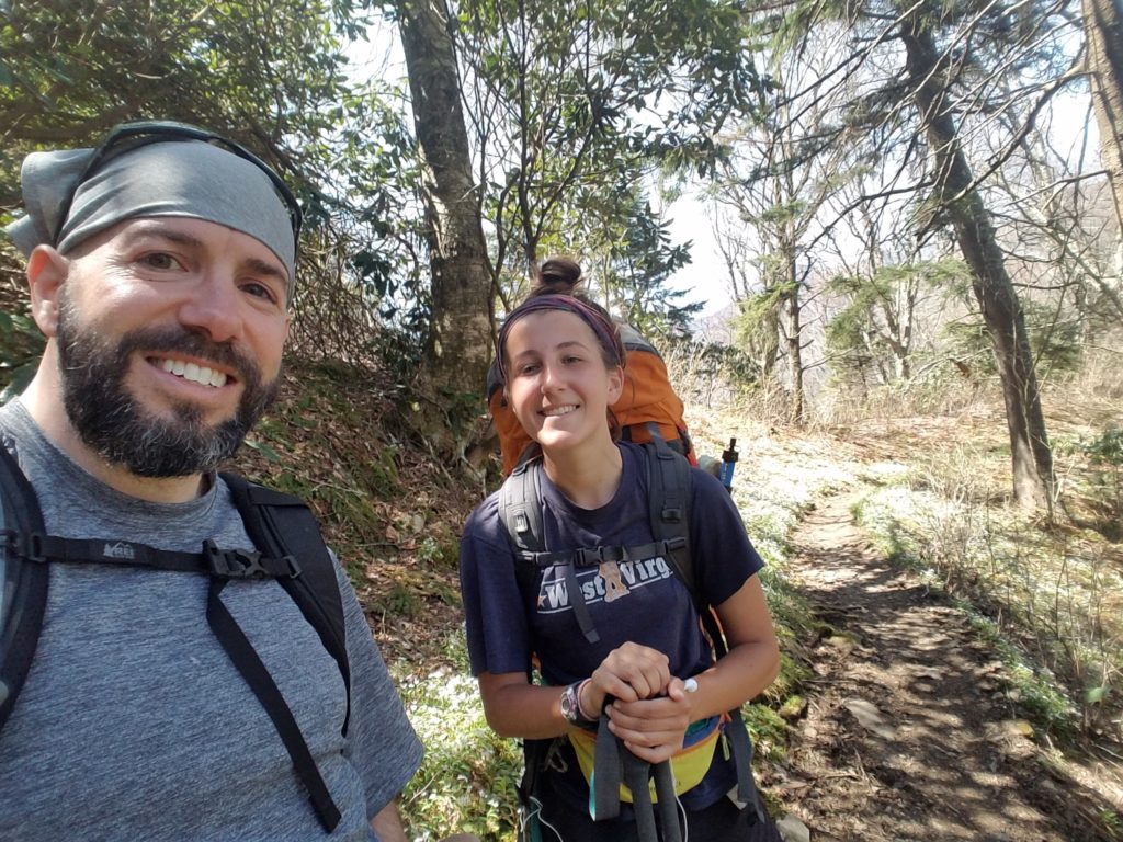
Then came another AT hiker I met. Danny. Such a great personality, and positive attitude. He’s “real” my friends. Happy Trails my friend!
UPDATE: 9/02/2019 – Danny is almost at the finish! Last I checked 3 days ago, he was in Maine with roughly 200 miles to go.
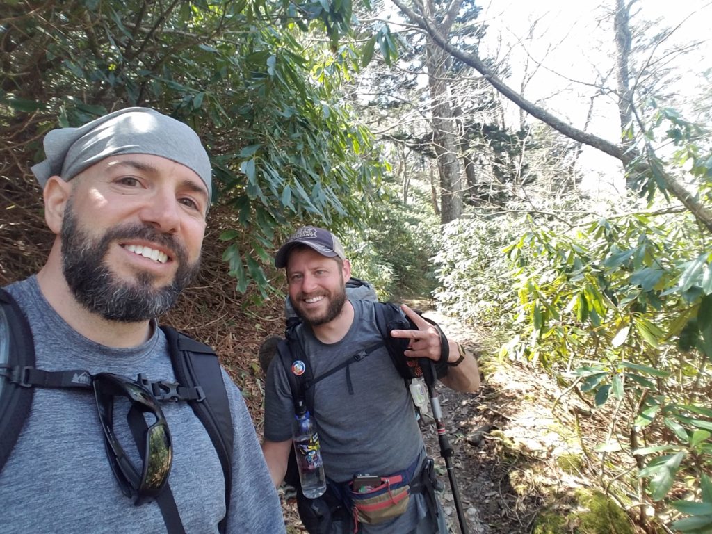
I then come to another T point, or intersection. It is where I exit the AT and get onto Snake Den Ridge Trail. This will lead me right back to my campsite. Thus, I stop and decide to take five here. (eat a quick lunch)

Before I can get my pack off, I run into Chad and Frankie. You know, the two from the shelter. It was an awesome reunion. From what they told me, they had parked their truck about five miles further down the trail and were hiking back to it from a couple days earlier.
They had just told me about the area where this WWII plane crash was. I set out to find it, and no sooner than I take a step, here comes four more AT hikers I had met yesterday. Sloppy Joe (whom I had complimented his beard length versus mine), Miss Footprints (whom has a great trail smile), Camel (whom brought a surplus of water to start the hike), and Peanut Butter Girl, aka PBG (whom brought a jar of peanut butter to start the hike).
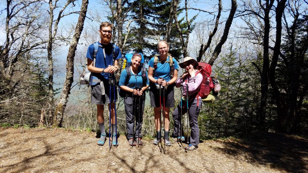
I wished them well. I also told them I hope to see them in August at Maine, or even Virginia in May. Stay tuned. Happy Trails my friends!
UPDATE: 9/02/2019 – I learned that Miss Footprints, and PBG had stopped their quests, and went home some time mid-June. No word on Camel Or Sloppy Joe, and Shannon.
I continued on my quest to find this airplane crash. Within minutes, I found it.

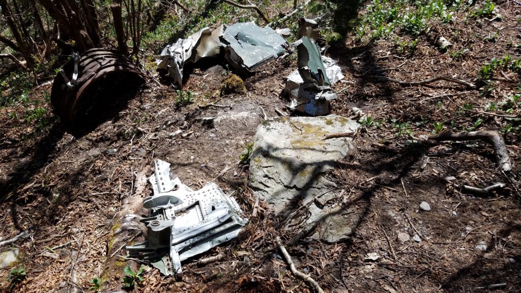
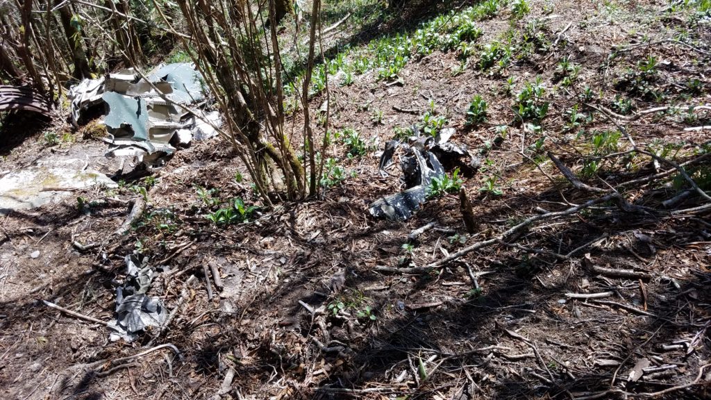
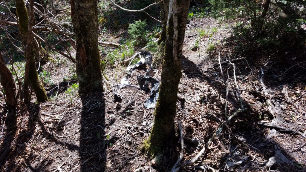
As you can see, many parts of the plane have been picked through over the years.
I got back on the AT, went back to Snake Den Ridge Trail, and headed down the mountain. Had I continued north from the crash site, I would have had to go 1.7 miles to Mount Guyot’s summit. Double that to 3.4 extra miles for my hike. I decided against it as daylight time was an issue. I was also hungry for a real meal.
I had just over five miles to go to get back to the campsite. In my estimation, I nearly went uphill the whole first half of the hike. My guess is that this five mile trek was going to be all downhill. I was right, but with several switchbacks. Not too mention the rocky terrain where snakes could be hiding, nor the mass amounts of horse manure all over this loop. I think someone forgot to read the signs that horses aren’t permitted on this trail, nor the AT. Their horseshoes were destroying the trail.
With no time to waste, I kicked it in gear and went as fast and safely as I could down the mountain. Bugs were getting to be an issue, so I started swinging my trekking poles extra high to swat them away. I went downhill for what seemed like an eternity. I then came to a creek crossing and walked right through it. Love these shoes.
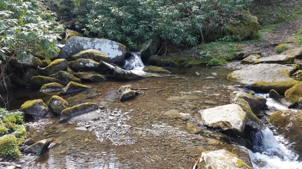
A short while later, I cross another well constructed bridge.
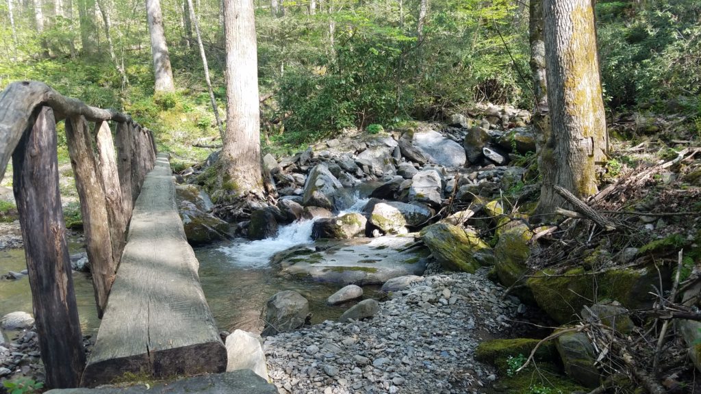
I could sense that the end was near. How right I was.

All I had left was the Cosby Horse Trail.
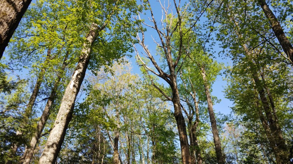

After these glorious photos, I had less than half mile to go. I get within 300 feet of my campsite, and found fresh bear scat. Being that I had been through this same path prior in the hike, I knew this had to have happened in the past few hours. I immediately told everyone around my site as a precaution. I then decided to get in my car and leave. Not a chance was I sleeping there with a bear lurking around. Plus, I needed a shower in the worst way and that campground had none.
13.8 miles total, 6 hours 30 minutes moving time
Total Smoky Mountains miles hiked, 40.6 in 3 days.
Off I went, got another hotel, got cleaned up, and went out for dinner in Gatlinburg. If you want some fantastic Italian food, go directly to Best Italian on Parkway. You can thank me later. It was molto delizioso!!
My friends, this concludes my trip to The Smokies. I wish my fellow AT hikers well, and hope to see you soon!
TechTrekDan

 Previous Post
 Next Post