Camels Hump
Tuesday, May 14th, 2019
It was a cool partly cloudy morning in Colchester, Vermont with temp’s sitting steady at 45-50F and a forecast of possible rain/snow. I dressed accordingly (Ozark Gear Waterproof thermal pants, Under Armour Tech t-shirt, Patagonia R1 Pullover, REI Co-Op Rainer Rain jacket, Arcteryx bird cap, Darn Tough midweight socks, Merrell MQM Ace mid DRI boots), and set out for the trailhead.
As I approached Camel’s Hump State park from the northwest, I noticed that the cloud cover was low and covering the peaks. I fought off a forthcoming frown, and proceeded onward with a positive vibe that I would still climb it regardless if the magnificent view was present or not.
After a brief drive down the muddy trailhead road, I arrived at the upper parking lot. I grabbed my REI 25L daypack with Osprey3L bladder, two extra water bottles, REI trekking poles, put on my Arcteryx gloves, and set out on the trail.
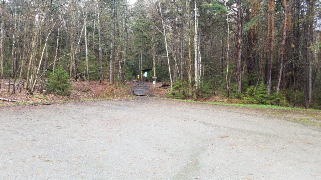
There is a lower lot for extreme weather, and also an upper lot if no weather (heavy snow) is present. I was the only vehicle there. I thought, “Great, I have the whole trail to myself.”
I get no more than 30 minutes into the hike up and see traces of snow. I was excited. Snow in May, who would’ve thought?

I take the photo and move on. I was moving at a fast pace as was the snowfall. I read a review days earlier that someone experienced 2-3 feet of snow on this trail. So far so good, but the snow was coming down harder and harder.
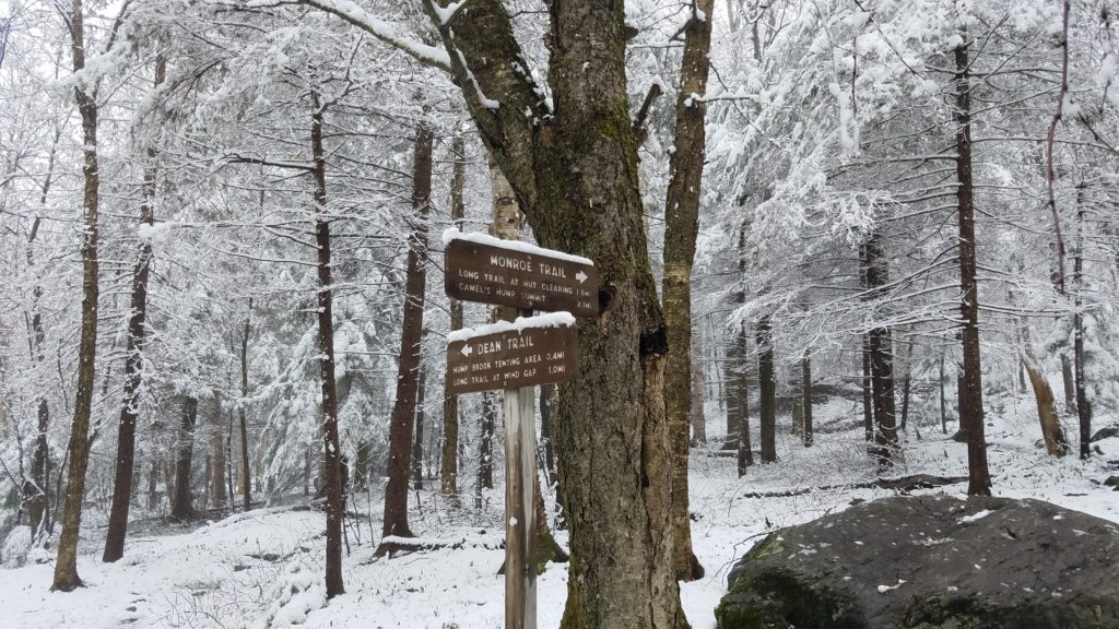
As you see in the photo, I was on the Monroe Trail. My plan was to take this to the Long Trail, and then clear the summit moving around counter clockwise on the Alpine South Loop. What you are about to see are some amazing photos of the forest in heavy snow.
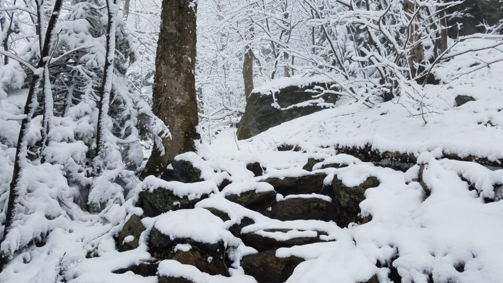


As you see in the above photo, you cannot see the trail floor. This is where I had to probe with my poles for each step. The snow at this point was nearing a foot deep.
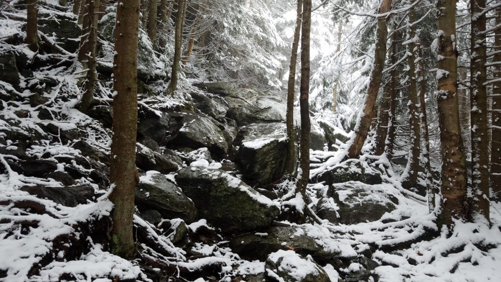

At this point in the above photo, I continued north to the Long Trail on the so-called “Bad Weather Bypass”.
The snow has now reached at least 2 to 3 feet deep on the trail. The key remained to probe for rocks that weren’t completely buried to step on. In a few spots, I stepped and sunk into snow up to my waist. My pants did not raise up as they held firm next to my boots. Thus, no snow got in my boots. Thank you Ozark!
I went on and soon reached the intersection of the Long Trail. It was an open area, and with trails leading in all directions. I took a short break, and then headed the final .3 mile remaining to the summit. This is where the battle began.
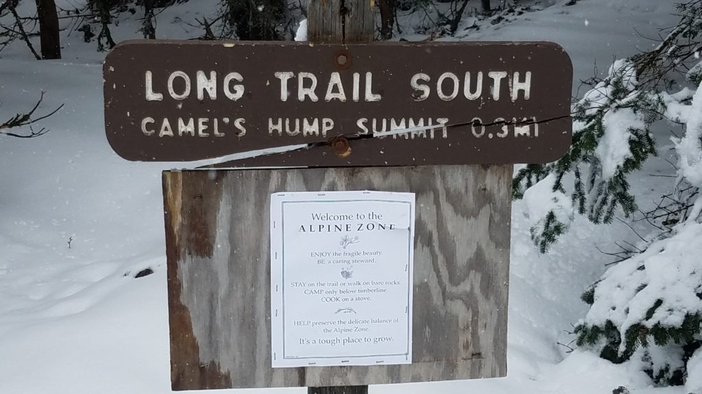
The wind and snow were picking up like no other. It was apparent that I was entering blizzard conditions. I put my phone away and climbed the final .3 mile ascent to the summit. It was difficult in some parts, as the snow made all the difference.
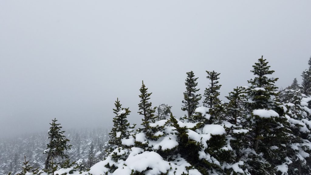
At last, I made it to the top. While the ever so magnificent view was not present, I did manage to see a few hundred at most. I snapped a short video, and a few photos and got off that summit as fast as humanly and safely possible. In the current conditions, that was not fast at all. Take in the factor that the trail blazes were painted white on the stone. Near impossible to find them, thus I used my experience and instincts to find the trail. The temp dropped to below 20F, and winds were about 50mph. I had to hold my cell phone with a firm grip to prevent it from flying away when I took the photos. I couldn’t get off that summit fast enough.

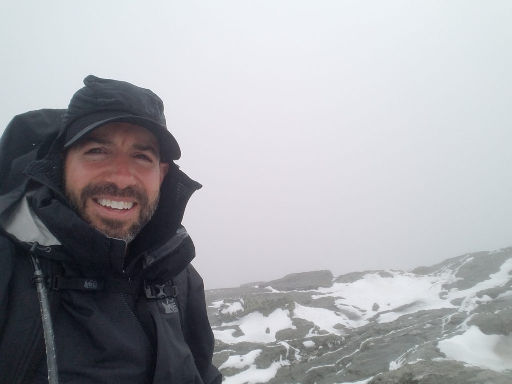
In the above photo, I quickly unzipped my jacket and hoodie, pulled back the hood, exposed my face, and took a selfie. It was probably the most painful selfie I’ve ever taken. It hurt so bad that I was laughing. It felt like I was in a Dippin’ Dots machine as ice and snow pellets were blasting me in the face. Ridiculousness at it’s best.
I was able to find the Alpine South loop after some intense searching. I took this route as it again was supposed to be the “Bad Weather Bypass”. There were spots where I had to get on my rear and slide down the summit. There were other areas where I had to get on all fours. Then there were areas that I am 100% confident are truly difficult to negotiate in dry weather. If it weren’t for my poles, I am certain I would’ve got stuck up there or even hurt seriously. At one point, I had to leap from point to point and seriously pray that there was no ice under the snow.
I finally got out of the high wind zone, and made my way through the forest on the loop. I look down and notice some fresh tracks. I take a close look, and they were fresh bobcat tracks. I quickly look around and didn’t see it. I look up and see this 100-200 foot cliff edge.

I completed the Alpine South loop “Bad Weather Bypass” and felt like it should be renamed “Bad Weather EXTREME CHALLENGE LOOP- ENTER AT YOUR OWN RISK”.
I started my descent down the same trail (Monroe) I came up on. About 30 minutes into it, I hear a voice say, “Hi there”. Here, a younger man named Sean was on his way up. I advised him of the extreme conditions up top, and he took it into consideration and appreciation as he went up.
I had come out of the snow zone, and was getting closer to the parking lot. I checked my app and it said just about 2.5 miles left. I then reach back, and notice one of my gloves fell out of my rear pocket. Some choice words of frustration came out, and I turned back and headed back up to find it. I get no more than 15 feet and here comes Sean with the glove in hand. I was so relieved. We then made our way down the mountain in conversation of my experience up top.
Sure enough, we got back down to the parking lot and no snow was there. Only my muddy car. He parked in the lower lot.

I headed back to my hotel, got cleaned up, and went out for dinner.
McGillicuddy’s On The Green was it. “Champions Dinner” as one local put it, was my meal. The Vermont Burger. I highly suggest the place.


 Previous Post
 Next Post