Mt Rogers
Sunday, May 19th, 2019
Here it was. The last day of my trip has arrived. My plan was to get a hike in before I headed home that evening. I chose Mt Rogers, the highest mountain in Virginia.
The drive to Elk Gardens Trailhead was about 25 minutes. I arrived shortly after 8:00am and immediately took note of a boy scout troop packing up. They had stayed there the previous night. They needed someone to step in and take a group photo. I set my gear down and assisted. I then grabbed my gear and went to start my hike out on the AT .

As shown, the Appalachian Trail ventures right through the parking lot.
Soon after I took this photo, two AT hikers emerge from the forest. I ask them if they need any water or food as I had plenty in my car. They said they were good to go as they had restocked in Damascus.
Damascus, VA is where the 2019 Trail Days Festival was being held all weekend. It was reported that more than 2,000 tents from AT hikers filled “tent city”.
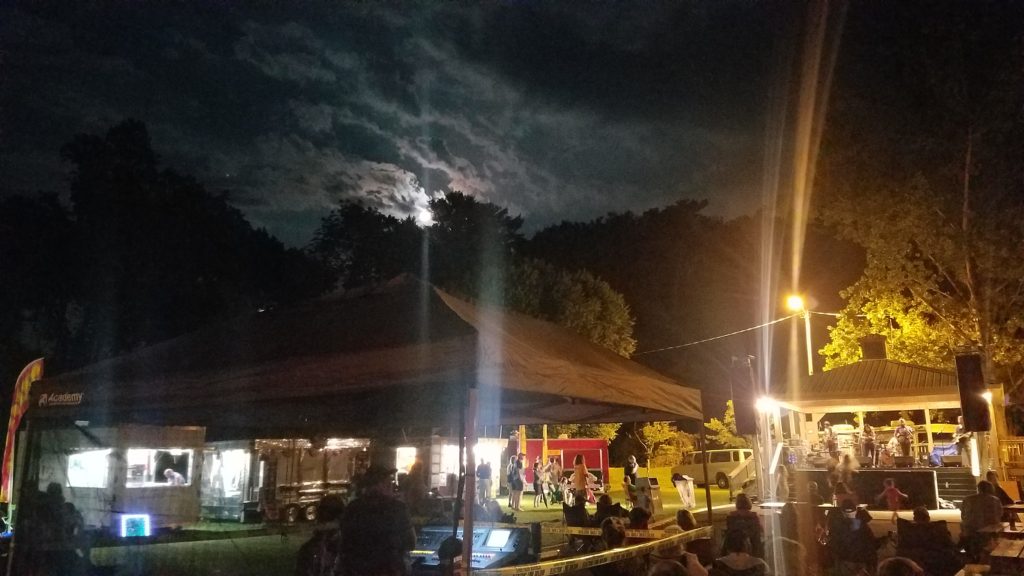
I then ask the two hikers if they don’t mind that I join them as the AT goes up the mountain and over to Thomas Knob. They were more than happy to have me tag along. They went by the trail names Bamboo and Skinny.
We cross the road, open the property gate, and venture through the pasture.

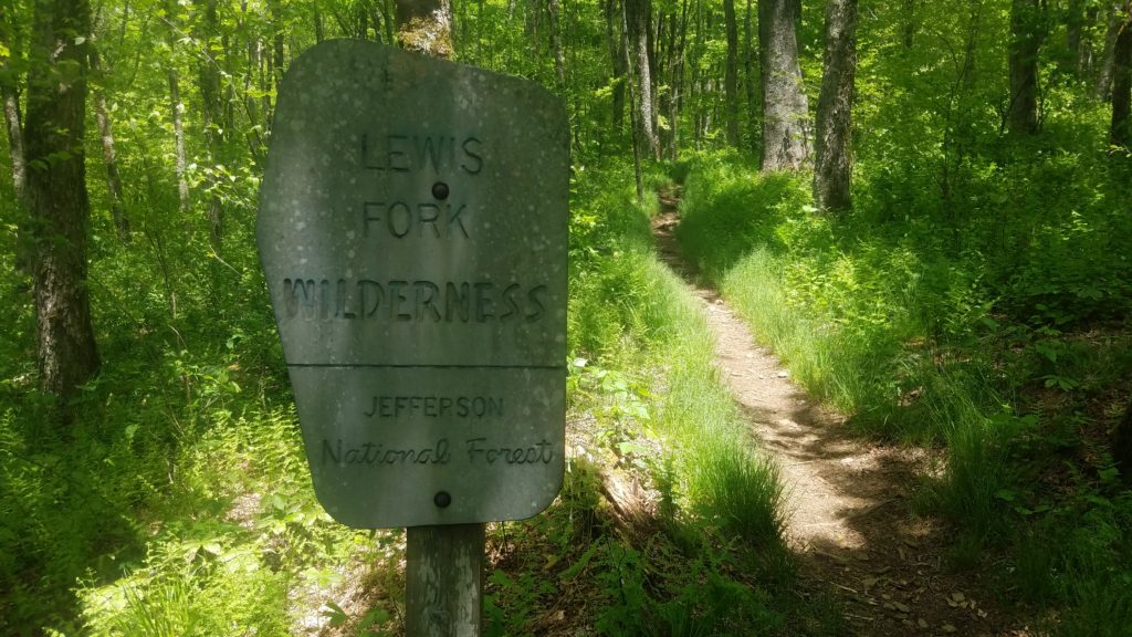
In our sights was the Jefferson National Forest. We approach the forest and I see this sign shown below. We were moving at a fast pace, thus I took this photo on my way back.
We get by the registry/sign in board, and head into the forest. Trekking away on the AT.

I managed to turn up the horsepower and pull away the champion bred hikers. I paused and took the above photo to show the diversity of this section on the AT.
The hikers came from out of Whitetop Mountain forest and into the Balsam Mountain forest, through the parking lot, across the road, ventured over a pasture, back into a forest, and soon to be up the 5,725 foot Mt Rogers.
I am now once again alone on the AT. A feeling thousands of AT hikers share. It is highly suggested to find a companion along the AT to help with your sanity, and well being. Another benefit is that your chatter scares away animals, such as black bears and large cats.
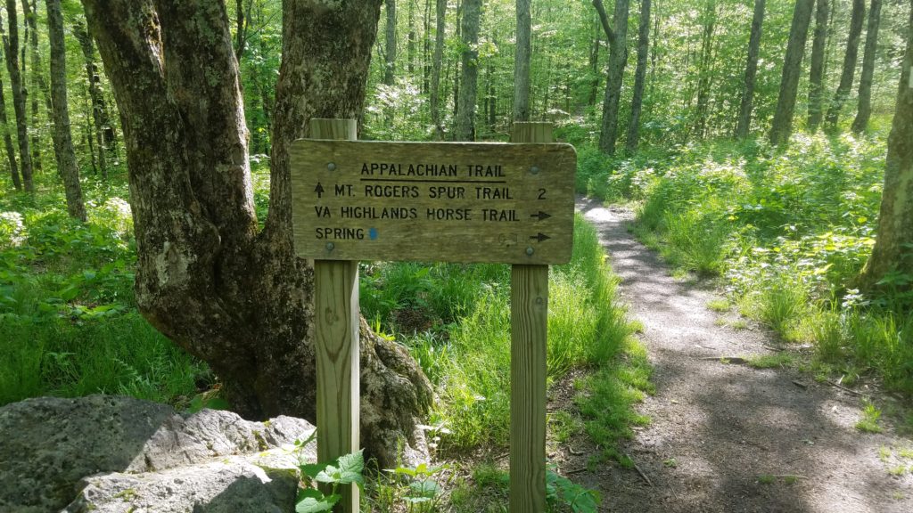
I trek on and come to yet another intersection.
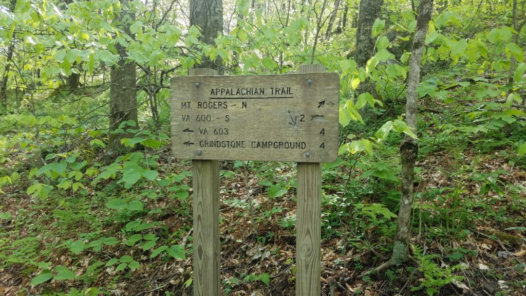
As you can see in all the photos, vegetation is all over. This includes my nemesis Poison Ivy. Fortunately, I was able to stay on the trail and avoid it on this trip. This brings me to the number one tip while hiking.
STAY ON THE TRAIL.
Sure, going off trail and exploring sounds fun and adventurous. However, it also puts you at so many risks. Not only poison ivy, but poison oak, and poison sumac. Let’s not forget venomous snakes, ticks, chiggers, and other pests. Happy Trails my friends. Let’s keep them happy.
Speaking of “Happy Trails”, it is one of the most used phrases while hiking. Definitely the number one phrase used by thru hikers.
Let’s discuss another type of happy.
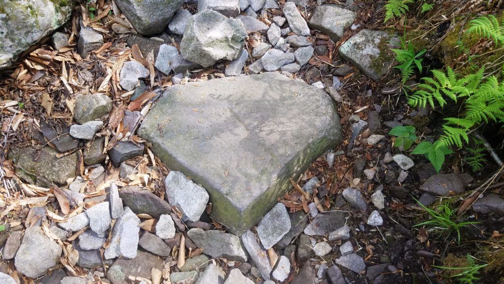
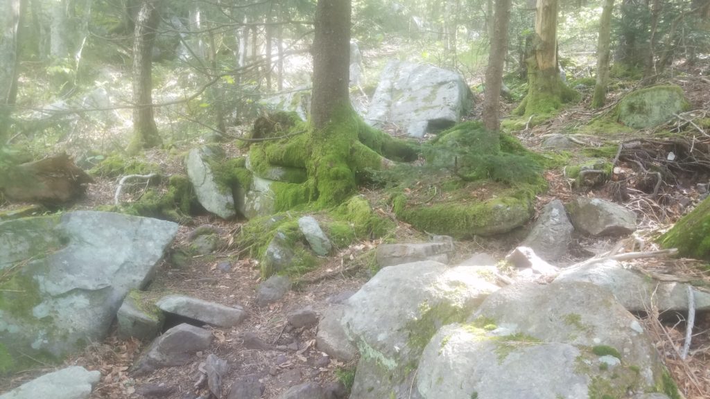
I come around the bend, go down a rocky part of the trail, and spot this “super” stone.
I then turn and see this picturesque scene.
I move on, and come to a switchback. I went to turn, and saw this…
WILD PONIES!!
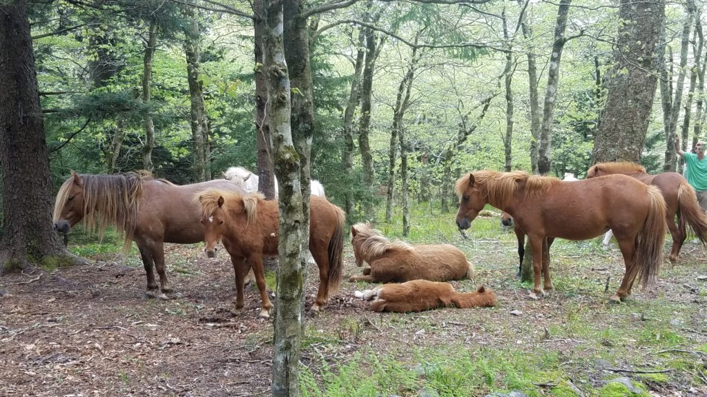
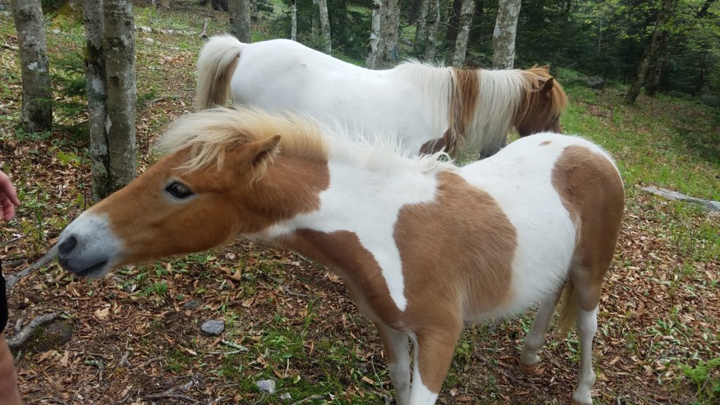
They came right up to you and let you pet them. They attempted to go after my trekking poles. Your sweat releases salt onto the cork handles. They also licked your legs to get the salt from sweat. Such a blissful experience.
I asked the fellow hikers if I could take photos, and video with them in it. They said go for it! I went ahead and took a selfie with the pony who was giving me attention at the moment.
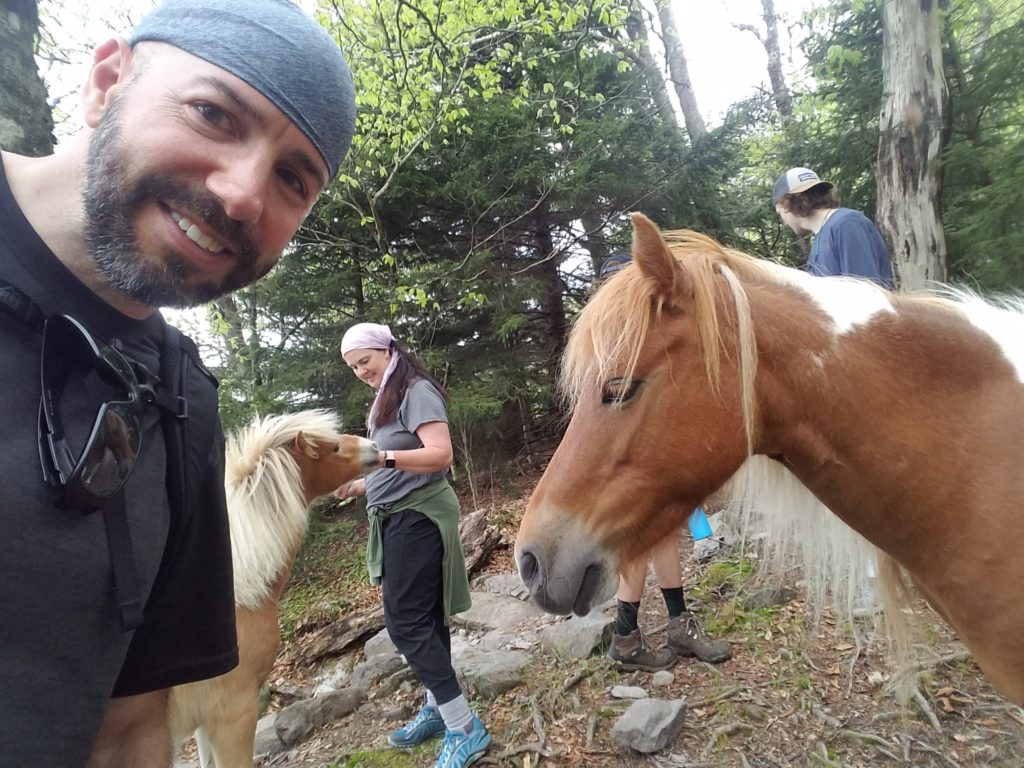
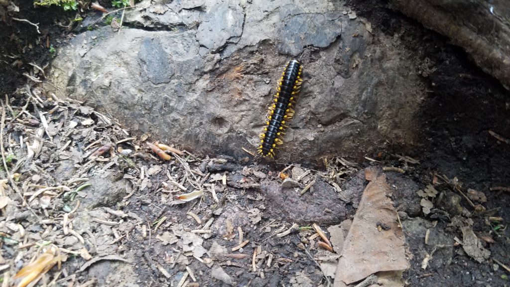
After a few minutes, I trekked on. I then came upon this colorful fella.
I came to an opening from which I could see the valley and mountains around. I decided to stop and take a quick snack break there.
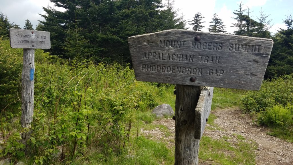
As seen, this is where the AT splits off. It heads towards Thomas Knob. This is where I split off and head up to the summit.
Seconds later, the two AT hikers finally caught me after 2+ miles. We were now at 5,400 feet.
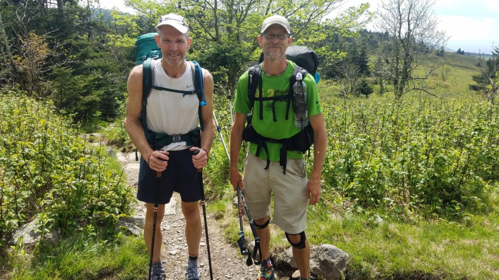
We share a few laughs and farewells before they continued on their journey for Maine. I turned and headed up the few hundred feet to the summit.
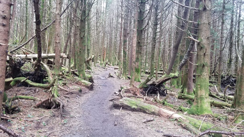
I had heard from other hikers coming down that there were no views up top. Only trees. They were right. It was like an enchanted forest up top.
I get to the summit, and there stood two hikers eating lunch. Oddly, they were eating while walking in circles. I ask why the activity during eating. I no sooner then take a few more steps, and got my answer. The bugs were overwhelming. You had to keep moving or risk getting eaten alive. The male then tells me that there were two USGS stamps. He was correct. At approximately 25 feet apart, there were two large stones nearly equal in height. Both had USGS marks. A small version of twin peaks.


I shot these two photos, and hurriedly got out of the bug zone and back down the summit.
I stop where I took my break earlier and shot these.


I then see a couple off to the side eating on a large stone. As I approached, they were taking photos. Again, I stepped in and offered to take one of both. They graciously accepted, and then returned the favor.

I then kick it in gear and make my way down the mountain. I started trail running, but it got too technical. I then came across another AT hiker, Clay. We had met back when I was in the Smokies weeks earlier. He’s a stand up guy, no doubt.
I get back on pace and make it to the forest edge. I entered the pasture and saw some amazing views.
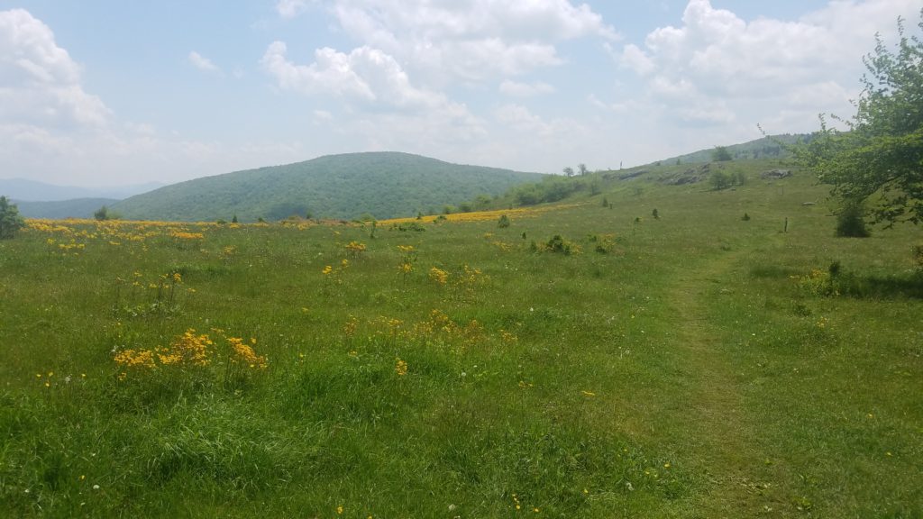

I come over the hill and met a couple with their dog. We shared a favorable conversation. One of which I hope to meet them again. Possibly even fly fish together. I believe their dogs name was Tucker. Quite the curious one. Ha! If you’re reading this now, my Instrgrm name is techtrekdan.
I then finish the final leg of the hike and make it back to my car. This was not before I had met another couple. The husband plans to hike the AT next year, and was asking my advice. He is looking to use a hammock. My thoughts were, do you value your back? Get a flat platform one, and bug net. Use a sleeping pad as well. It just may work. Happy Trails my friend!
What a hike! I clocked it as 9.6 miles, a 5,725 foot summit, and 3 hours 44 minutes moving. I changed my shoes, packed my gear into the car, and started my drive home. I stopped to get some food, fuel, and then continued the 387 mile journey.
You may think I am crazy. Hiking a mountain, then driving 6+ hours home. Take my word for it. The adrenaline running through me was electric. I had just completed one of the most epic trips in my life, and completed it with one stellar experience on Mt Rogers.
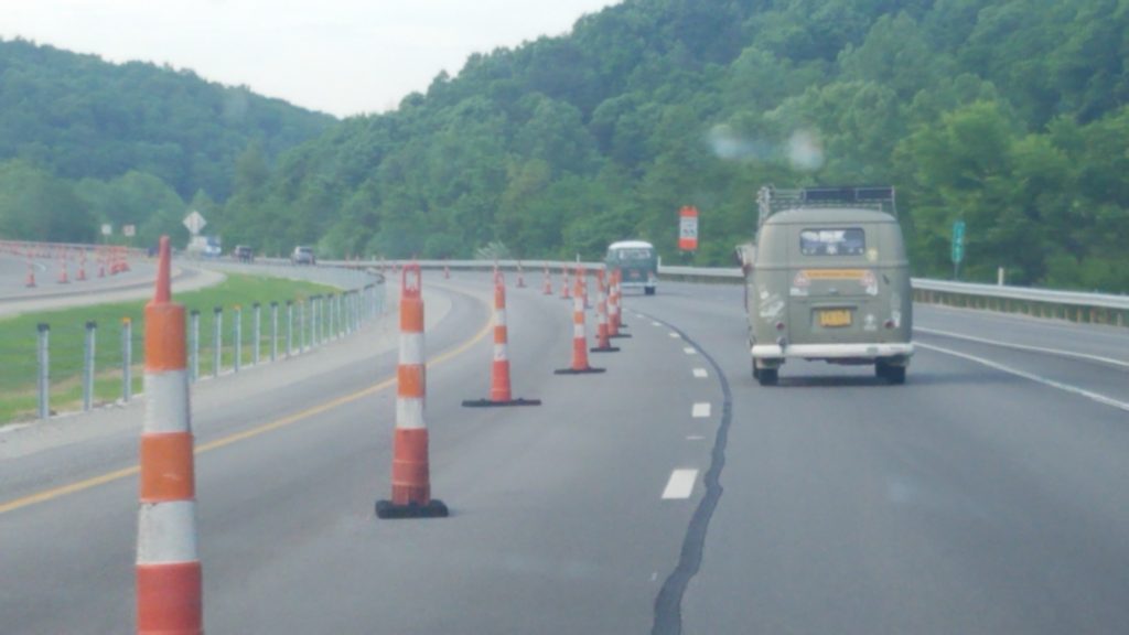
The highlight of my trip home was passing an Ohio bound VW bus caravan of 7. So awesome!

 Previous Post
 Next Post