Mt Rainier – Washington
August 18th, 2019
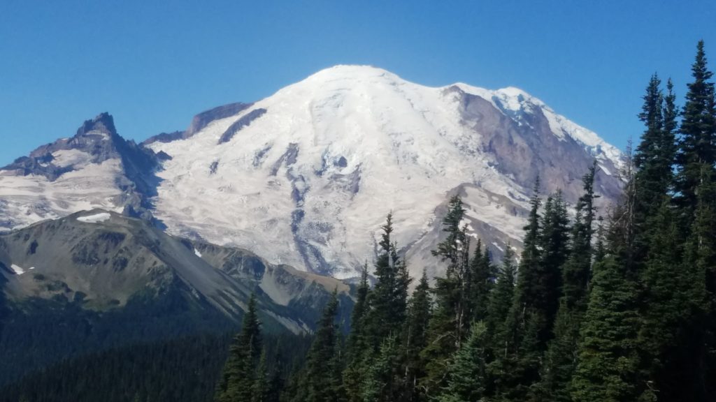
I was up and off to another superb morning. I drove straight from the hike in Bend, OR to a hotel in Yakima, WA. It was such a good nights rest in a real bed after a real shower. Oh, the amenities of the civilized world. So grateful.
I usually make my plan of attack the night before. In this case, I was exhausted from the previous night, the hike, and drive. Thus, I went with my instincts on which way to go, and where to park.
The choices were Paradise Campground or Sunrise Lodge. I chose Sunrise. I learned after this days hike, I made the best decision. Apparently, Paradise is where you go to learn mountaineering skills, rent equipment, and take the trail up the mountain. That was not in my plans this time around. Next time I visit, I just may summit this beast. Stay tuned.
Mt Rainier National Park
Somehow, I seem to pick the hot spot at each place. Here I was, in bumper to bumper traffic awaiting my turn through the Park Ranger check-in station.
After 20-30 minutes, I get through and find a parking spot. I get my gear on for a “simple” day hike. I had no idea what this day hike might present, so I packed plenty of water, Clif Bars, and Old Trapper Beef Jerky, THE BEST! I picked that up in Oregon where it is made. Fan for life.
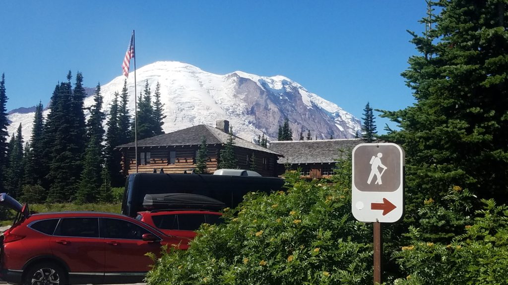
As seen above, I was featured on the sign. Thus, I went right. Ha!
I began my hike on the Sourdough Ridge Trail. The plan was to hike to Mount Fremont Lookout. However, as I approached the trail that split off toward it, I had a feeling I better take the other route which got you closer to Mt Rainier. Such a wise decision that was.
Burroughs Mountain Trail

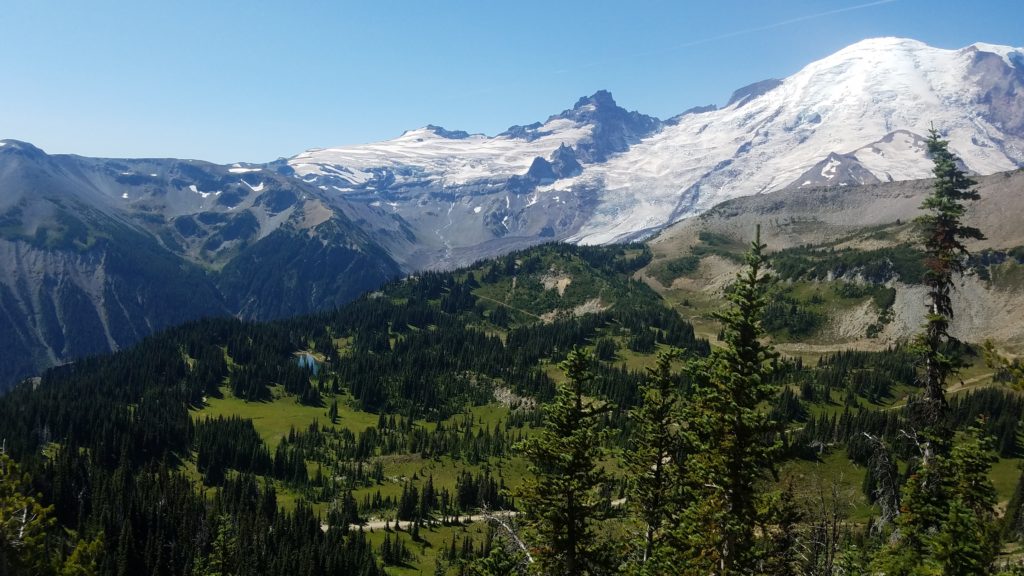
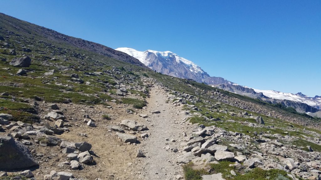
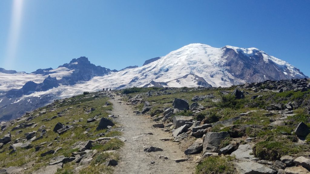
As you can see, the trail heads up, and up. You climb in elevation for quite a while. Then you come to the first Burroughs. You descend, and ascend again to the second Burroughs. I believe this is the summit of Burroughs Mountain at 7,380 feet. However, you can go on to what some of the hikers were calling the third Burroughs. The extremely exhausted look on their faces said it all.
Here are some photos of that hike which took you to the very end of the trail, or third Burroughs. Did I mention it goes up?
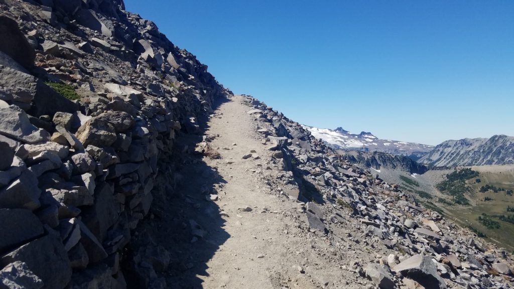
Still going up…
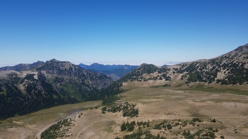
And up….
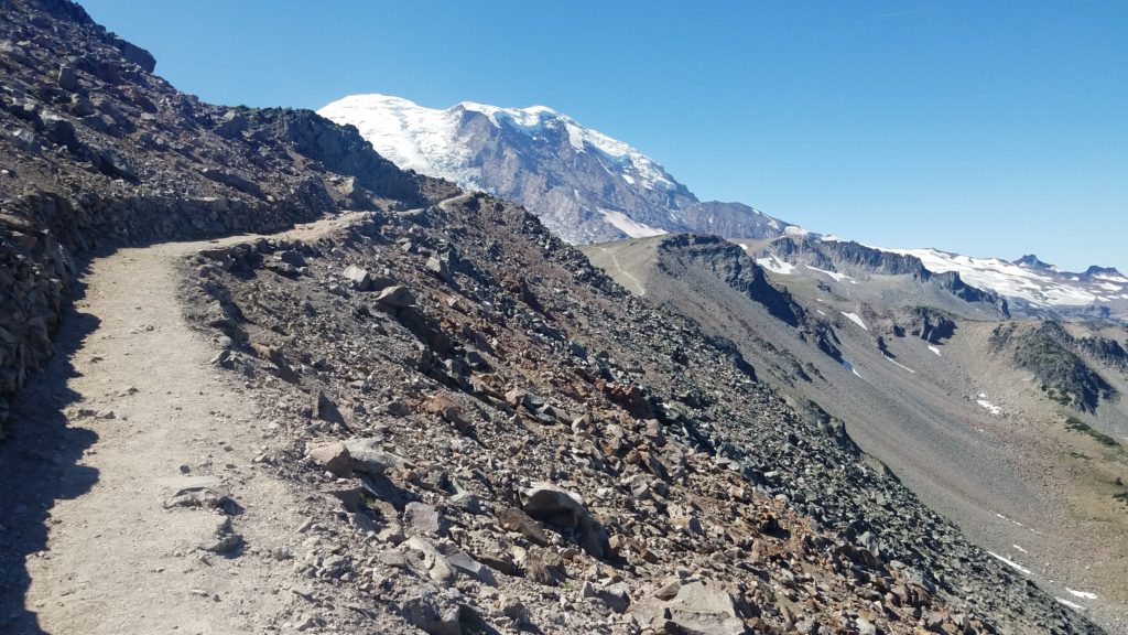
Getting closer… If you look over this ascent, you see Mt Rainier. In the distance, you see the trail still going for what seems like forever. I eventually got to the top of the ridge and took the trail to my east, which is actually to the north.
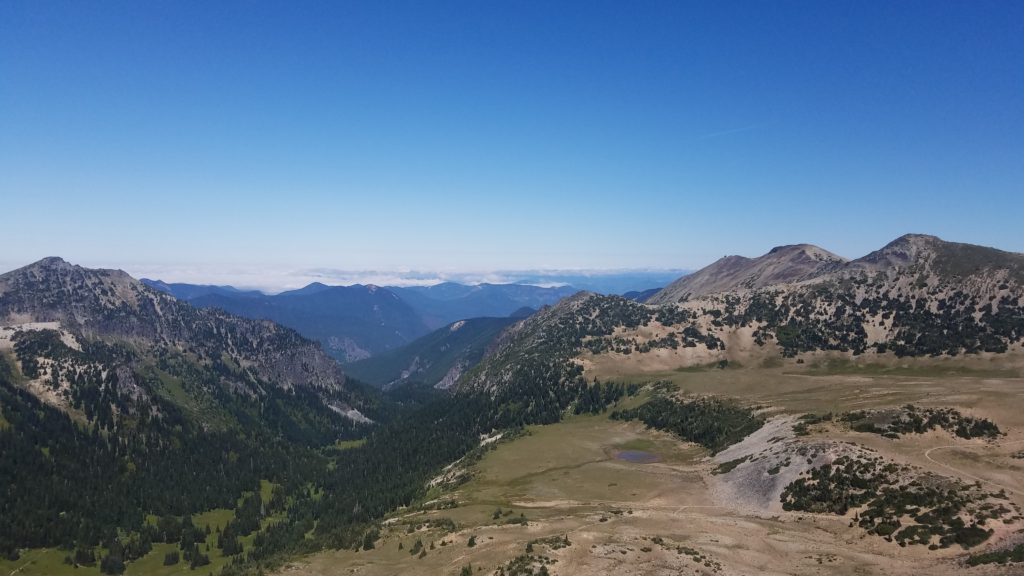
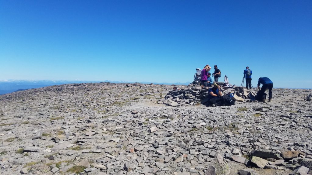
As you see above, hikers were using the cradle where backpackers camp as a break station.
At this point, the elevation was 7,380 feet. You then descend a couple hundred feet, cross a valley, then climb a thousand feet or two. As other hikers were returning, they appeared completely exhausted. The few who did speak to me, said it was a very physical and a steep climb ahead. I thanked them for the heads up. However, they must not have known that nothing scares me away. After all, I am diagnosed with summit fever. Ha!
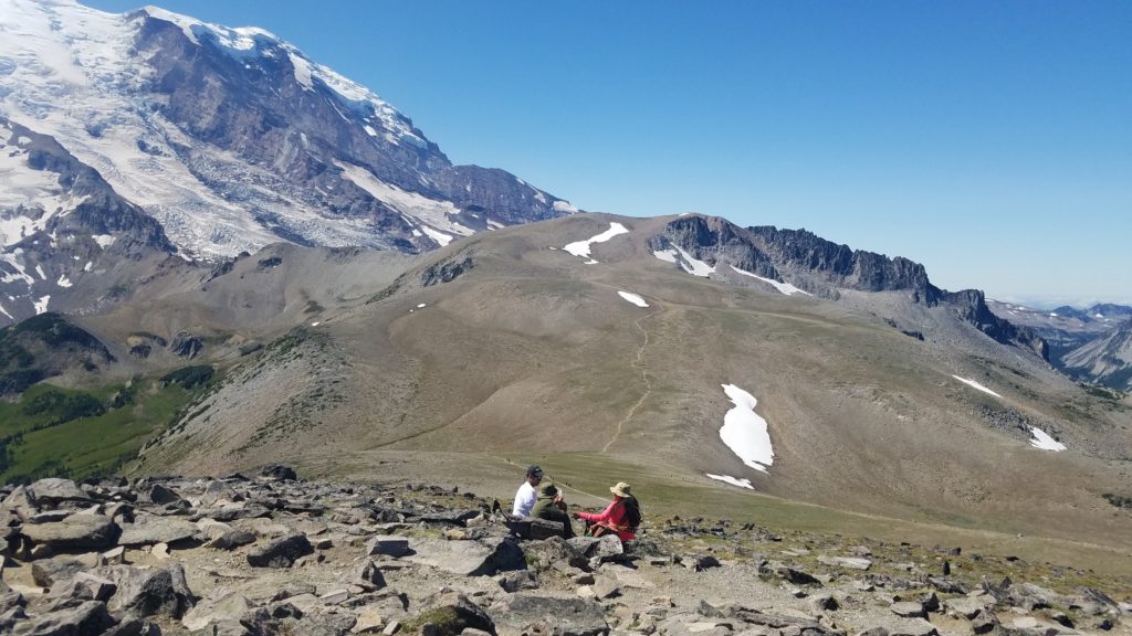
In the photo above, you can see where the trail descends, and then ascends into infinity.
I put my phone away, and decide to knock out what is visible to me.
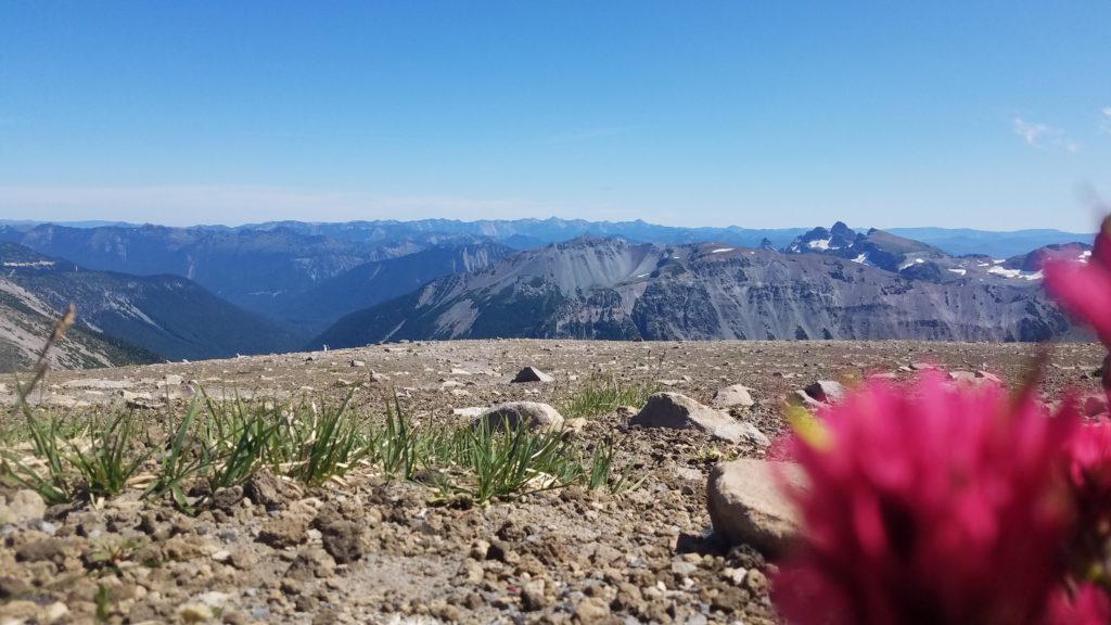
At this point, I am near the top of the third Burroughs. I’m above the cloud line, that is for sure.
I go on and make it to the top. I decide to refrain from taking photos until I reach the end of the trail. This (the end) is where you can go no more.
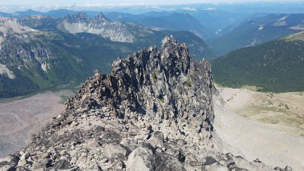
Finally, I reach the end. Taking one more step would have been extremely deadly. I then turn around and go back to the high point a few hundred feet away.
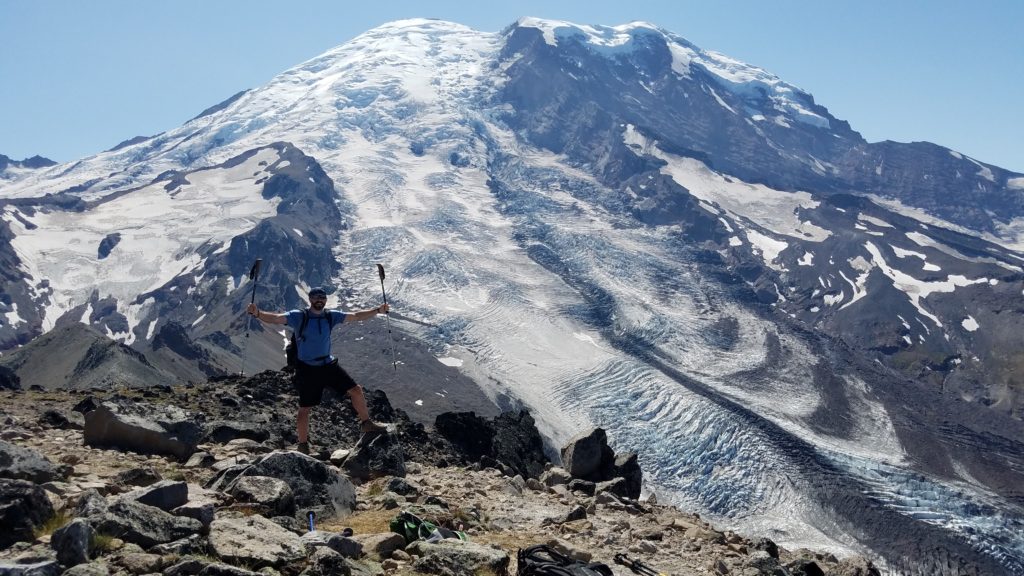
Thank you Eric and Catheryne for taking this photo and sharing the fun conversation. Mt Rainier is a genuine 14k beast. To my left hand is the Winthrop Glacier, above my right hand is the Inter Glacier, to the top point of the Inter Glacier is Steamboat Prow, and above and to the far side of Inter Glacier is the famed Emmons Glacier.
Where you see the “tooth” near the top center, is called Russell Cliff. Down the side from Russell Cliff is called Curtis Ridge. Up against the cliff is called Willis Wall. Further to the north is Liberty Ridge. This is where an avalanche took place right after this photo was taken and I was starting to descend. I couldn’t get my phone out fast enough to capture the whole event.
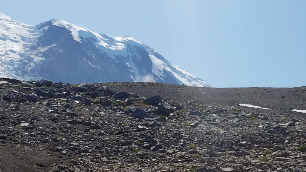
It took a moment to calm down. The excitement of a live avalanche took me by surprise. I then continued descending, and heading back down the steep climbs.
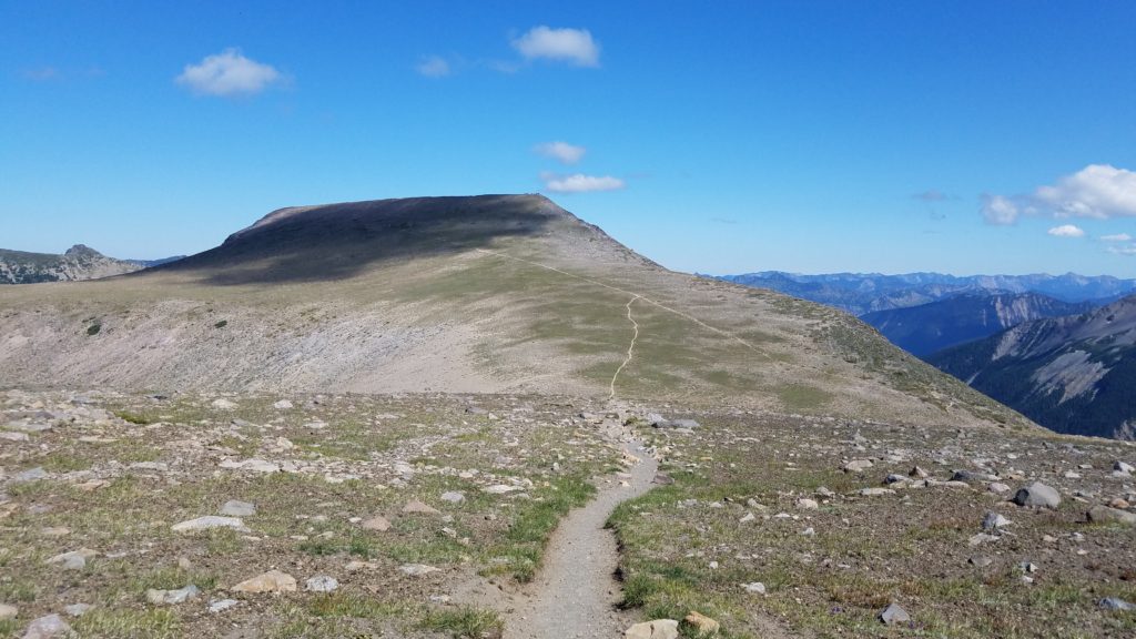
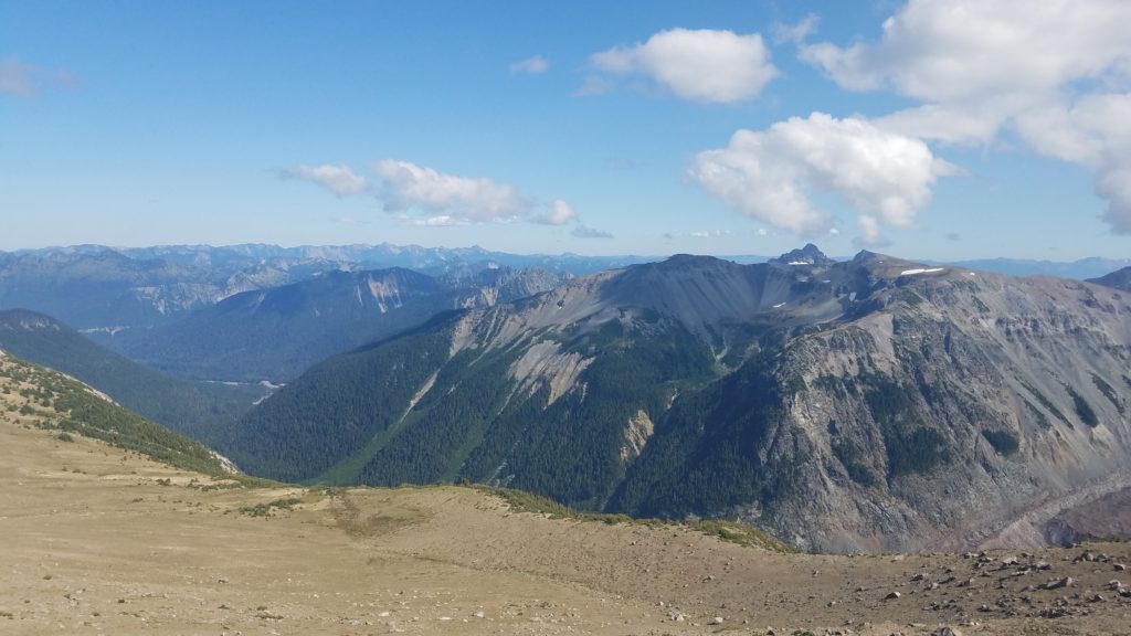

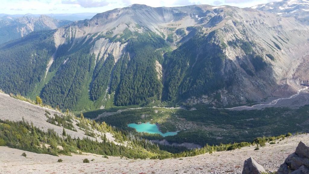
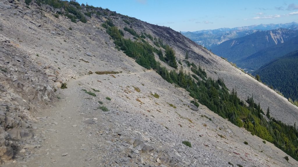
On the way back, I took a different route. I was told by some others, that there were two ways to get back. Thus, I took the trail to the right, which was still the Burroughs Trail. This intersected with the Wonderland Trail, and finally the Sunrise Rim. That takes you directly to the parking lot.
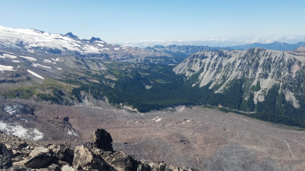
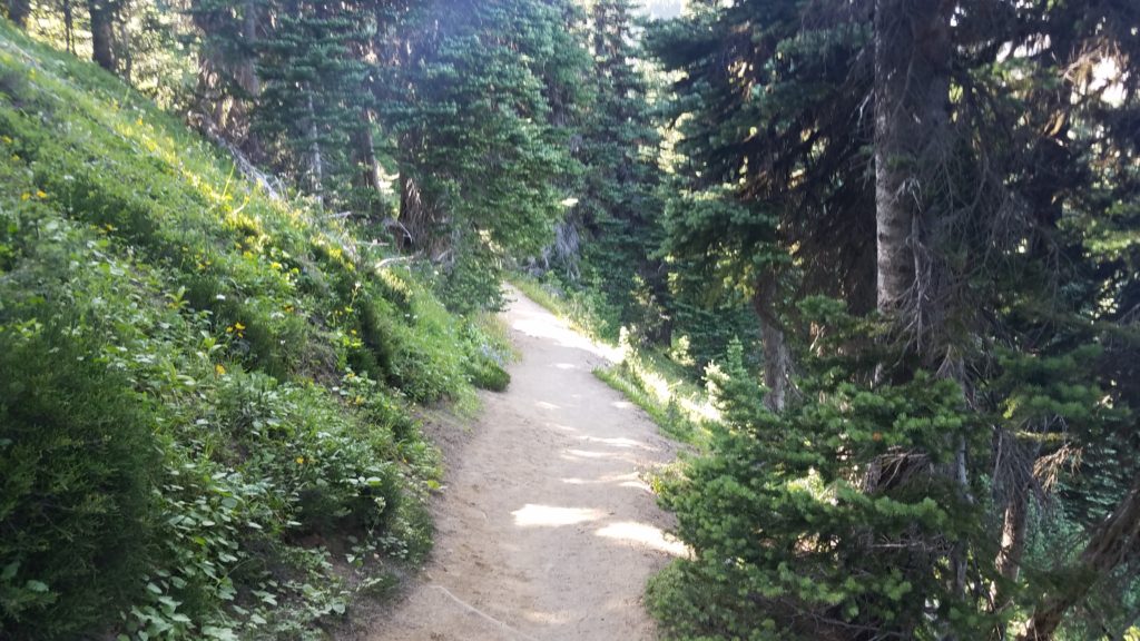
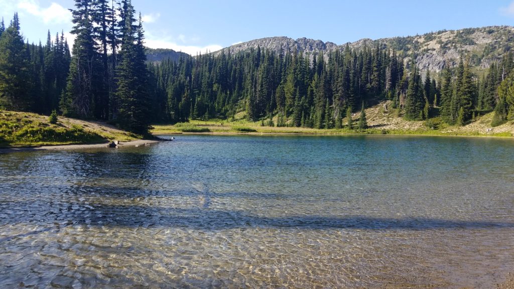
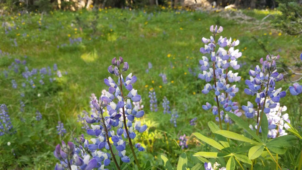
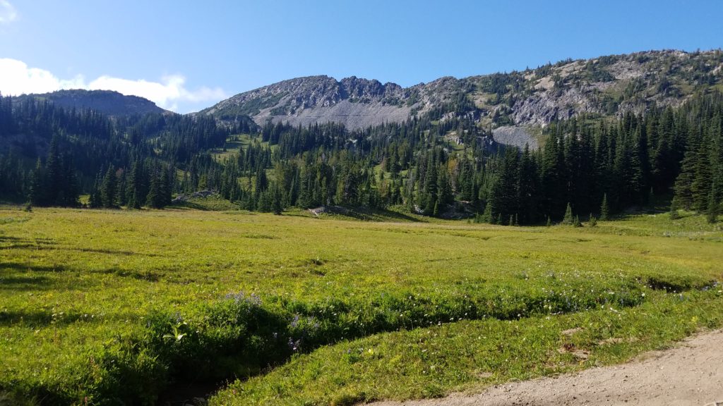
Here are some photos I took of the steep terrain, deadly cliffs, and beautiful scenery.
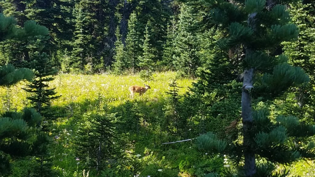
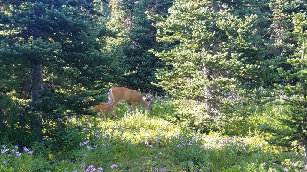
What a way to close out the hike. A doe and her fawn.
As you may have noticed, my “simple” day hike was anything but that. Next time, I may just backpack the Wonderland Trail. It goes the whole way around Mt Rainier. I hear it takes a few days at best.
Overall, this was one magnificent day. I met some amazing people from all over the world, and many regional locals. I can’t wait to go back!
Miles: 10.2
Time: 4 hours 35 minutes moving
Total time: 6 hours 14 minutes
Elevation gain: 2,635 feet
 Previous Post
 Next Post