Deseret Peak – Utah
August 11th, 2019
My Out West trip has begun!
After a 19 hour drive to Sidney, NE, and then an additional 10 hour drive to Salt Lake City, I ended up at The Great Salt Lake. I snapped a few photos, and got back in my car. I departed for Deseret Peak trailhead.
After an hour, I arrived at the trailhead parking in Wasatch NF. It was quite the rough road coming in.
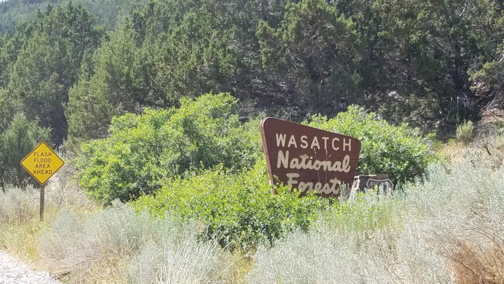
I exit my car, and get my gear together. I met this awesome couple, and shared a wonderful conversation.
At last, I am changed, my pack is set, and off to climbing this 11,070 foot high beast. The temperature was about 80-85F.
I was wearing REI Sahara shorts, an REI moisture wicking t-shirt, along with a moisture wicking Duluth Trading Co Armachillo bandana. I had packed REI Sahara pants, and an REI Rainier Rain/Wind jacket. The jacket is said to withstand winds up to 60mph.
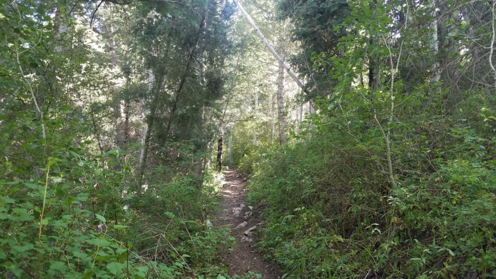
I get going on the trail, and about a mile in I came to this graceful creek.

I continue on. I was cruising at a fast pace as my goal was to make it to the top by sunset.
I come to an opening, and believe I see where I am headed.

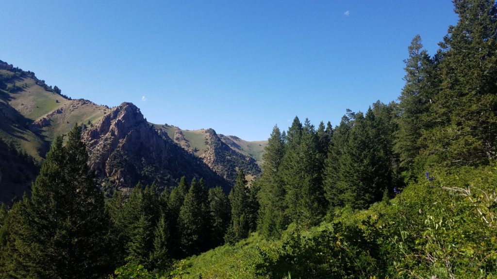
Nothing like a few more thousand feet to go. Summit Fever had taken over my mind.
I head back into the forest, and go another hour before I come to this view.
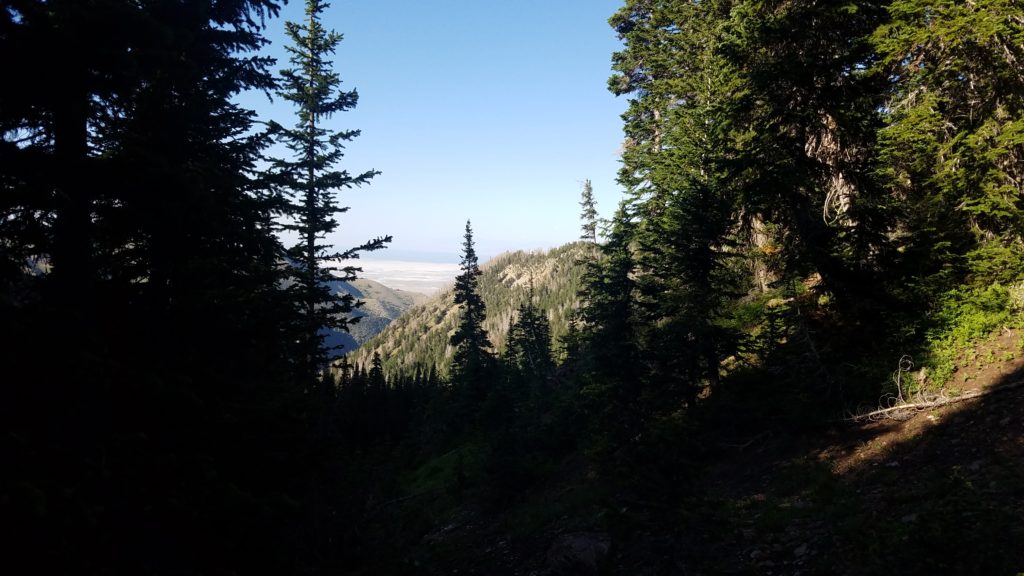
At this point, I knew I had been gaining considerable elevation. I then continue on.
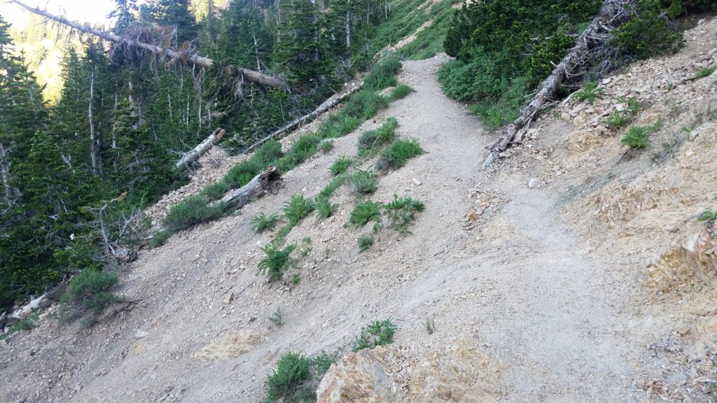
As you see above, the trail did get a bit tricky. This is one of those areas where you take your steps very carefully. Otherwise, down you go. To the curious ones, it was at least a 1,000 foot drop.
Another hour goes by, and I see this.

I take a short break here as the temps had dropped significantly. I put on my pants, jacket, hat, and gloves. I believe I was near the 10,000 foot mark. The temperature had felt like 40-45F. A 40 degree difference from the start.
I climb upwards almost another 1,000 feet. I found this sweet little spot to sit and take a break.
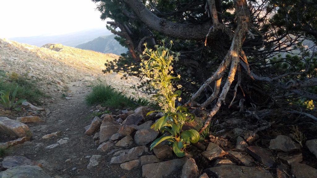
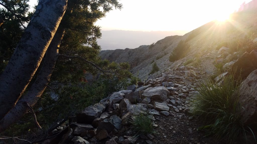
From here, it was a few hundred feet up the switchbacks to the top. What views it had at over 11,000 feet high. The highest peak in the region. They say you can see over 100 miles out. Which includes the Bonneville Salt Flats, the Great Salt Lake, and other areas.

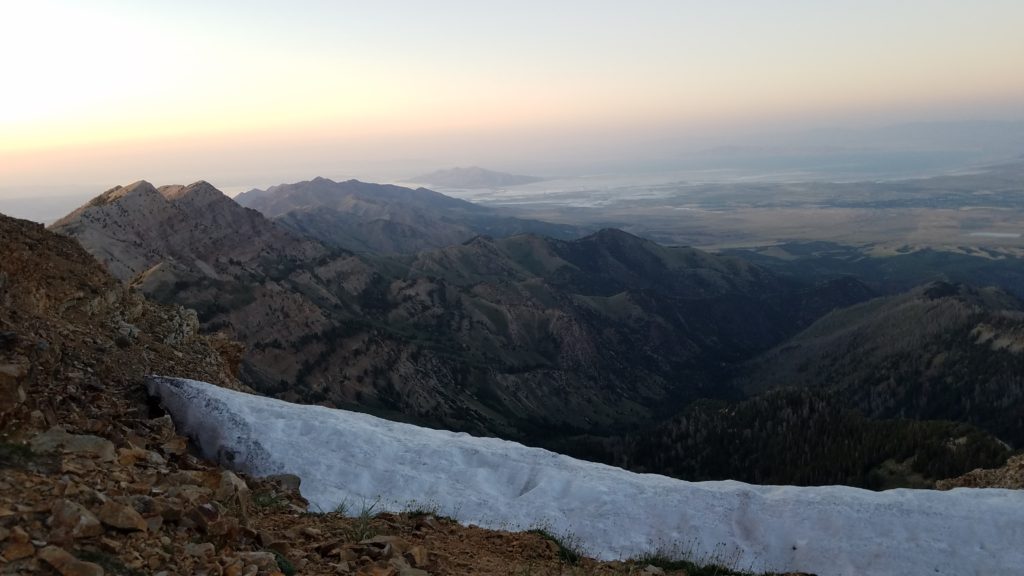
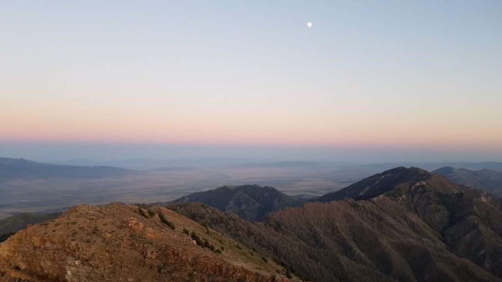
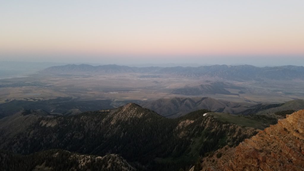
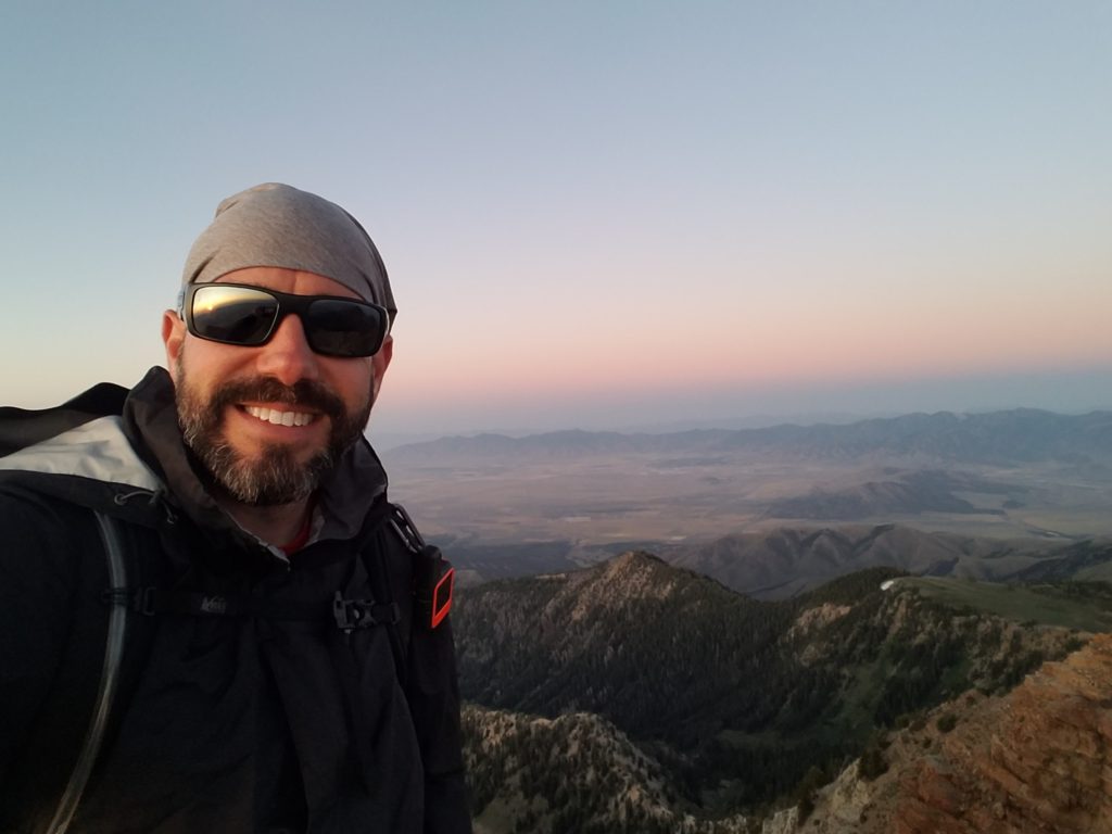
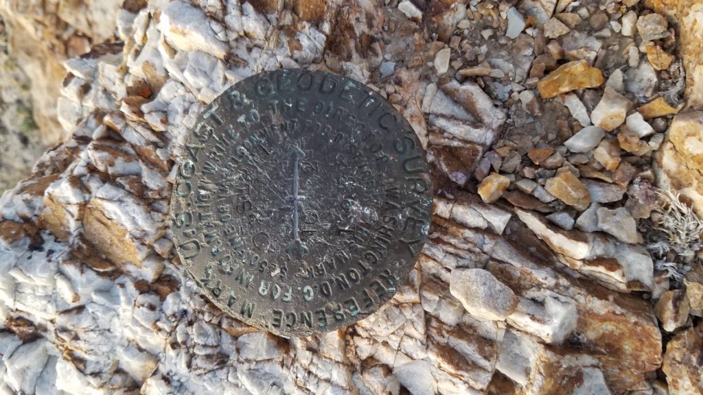
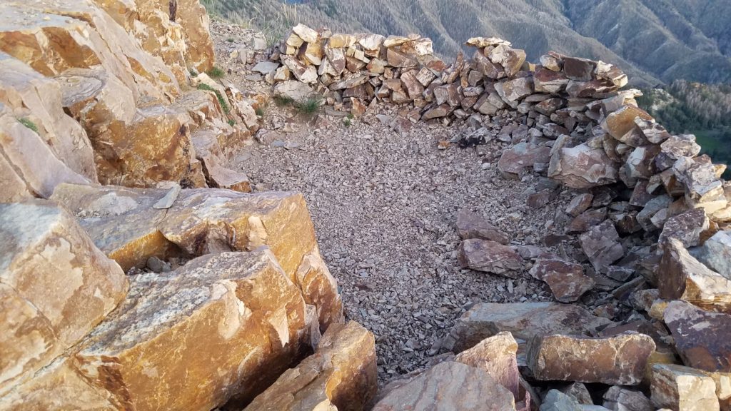
My plan was to sleep up top, in the below pictured cradle, as other hikers had done. However, the temp was closing in on 30-35F, and I could see my own breath. I then decided to scratch the plan, and head down the mountain. I got my headlamp out, and went down as fast as I could. The loop back was longer, and turned out to be a rough one as well.

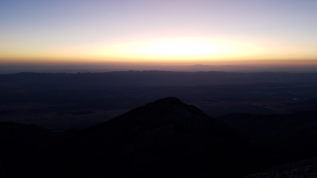
I am on my way down, and come to the forest. It was dark, so I turned on my headlamp.
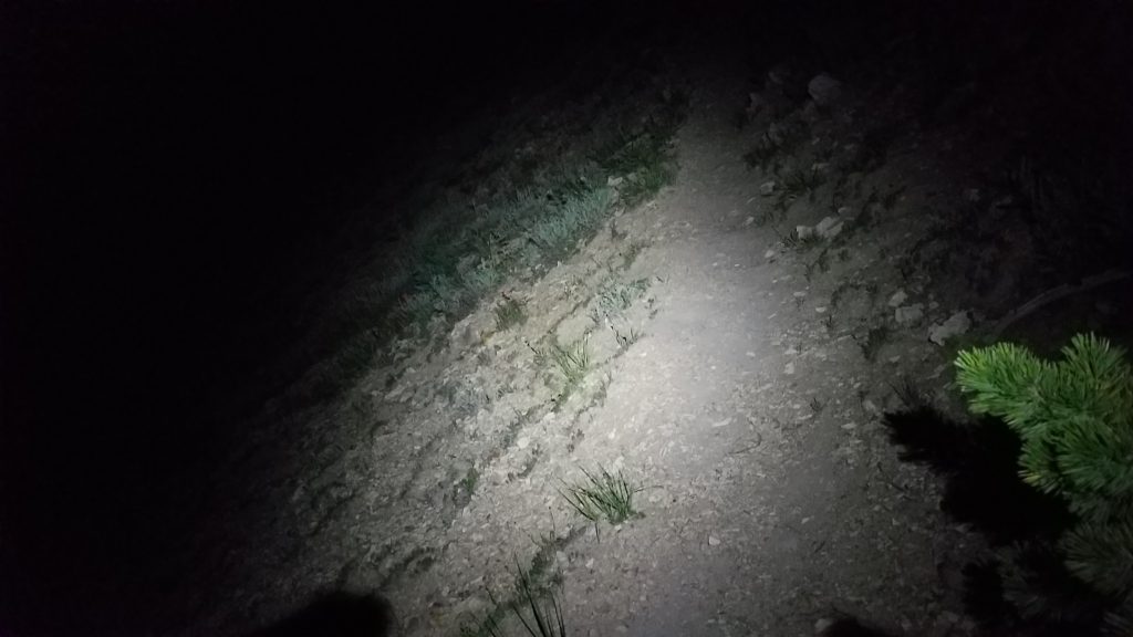
In the above photo, you can see the trail is no better than the way up. One false step, and Heaven awaits you. Of course, it didn’t help that someone brought their horse on this trail, and it blew out the sidewalls of the trail all over. I slipped and fell 5-6 times from this. Once, I almost fell to my death. So thankful my trekking pole caught and dug in as I went off the edge. It was a pure miracle that my other trekking pole caught on my packs strap. Otherwise, I would have lost it to a serious drop.
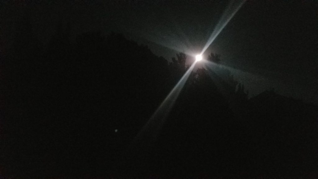

When I came to this marker, I had noticed several pairs of eyes in the field. There were about 30 deer watching me pass through the field. Some were up close. So awesome.
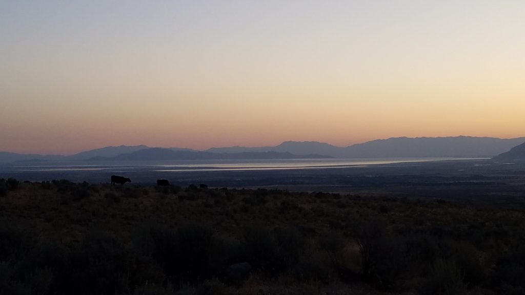
I finally made it back to my car at 1:30am. It was too late to set up my tent, so I slept in my car. There was quiet time from 11pm-6am. Thus, at 6am, I started my car and left. The above image is of The Great Salt Lake from a distance that morning.
Overall, it was a superb experience. Prior to this, the highest in elevation I had hiked was in the Smokey’s at just over 6,640 feet. I just eclipsed that by almost 5,000 feet.
Miles: 10.16 Time: 6 hours 4 minutes
Stop #1 was complete. I was on my way to Stop #2. Lake Tahoe.

 Previous Post
 Next Post