Franconia Notch loop 2019 – White Mountains, NH
October 11th, 2019
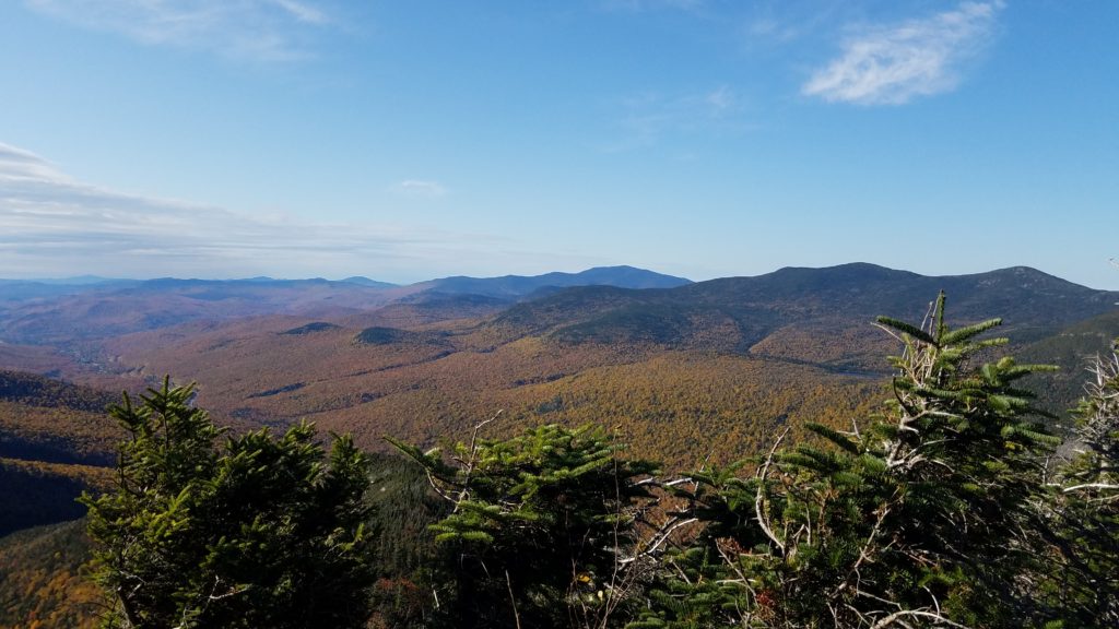
The best of Fall is here. I thought why not, let’s take a trip back up to New Hampshire and hike the Franconia Notch again to see the amazing Fall Foliage. Thing is, everyone had the same idea. As expected, most of the hotels within two hours drive were sold out. All campgrounds were booked. It’s one of those things where you have to book it 6+ months in advance.
I settled on a hotel in Brattleboro, VT. That was just over a two hour drive to the trailhead. That made no difference to me as I usually drive at least 40 minutes or more to good hikes.
It was quite the drive. At first, you go up the interstate. You then exit onto county roads. They gradually take you up in elevation as you pass through the Green Mountains. Speed limits varied, but were most common at 30mph due to all the towns you pass through. Oh, let’s not forget the dense fog. The locals must be used to it. They drove very fast and extremely unsafe in it.
I arrived at the Franconia Notch trailhead parking lot just after 7am. There were only a handful of cars there as overnight parking is only for Thru-hikers.
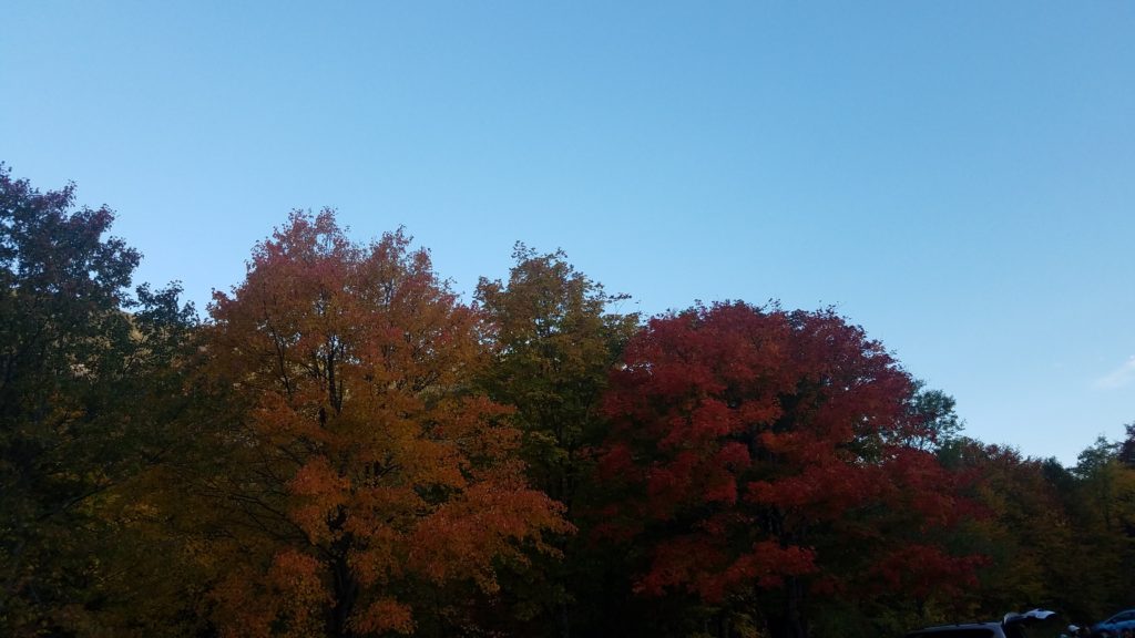
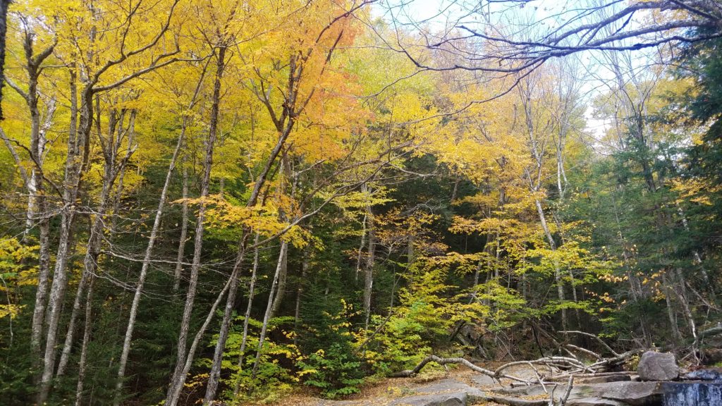
Right from the start, the trees surrounding the parking lot were expressing such vibrant colors.
As I got my pack ready, a hiker passes my car and saw my plate. He then said, “O-H!” I replied with, “I-O!” He went on to tell me that he was with 9 others who were students at Ohio State and in the Mountaineering Club.
I gave him and another one advice on which trail to go up, and what to expect. Shortly thereafter, the entire group of 10 pass my car and start their hike. They were all dressed warm as it was 38 degrees out. The higher you climb, the colder it gets. Up top it could be 20-30 degrees colder.
I had my REI Sahara pants on which serve as a wind breaker with water resistance. However, they had no insulation, and I did not want to put my underlayer on. I made a quick decision to change and put on my OR fleece lined hiking pants. These are the same ones I wore on Camels Hump in the fierce blizzard. Minutes later, I started my hike.
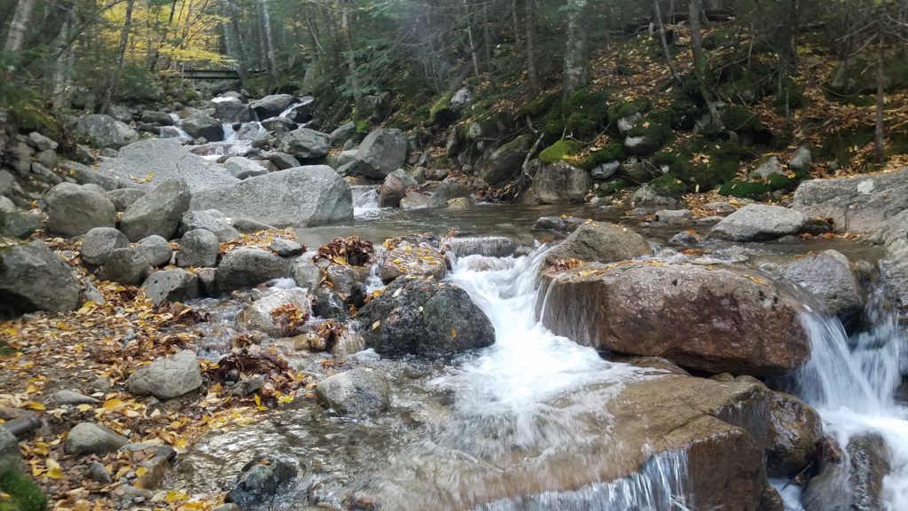
What a beautiful mountain creek to kick off the hike.
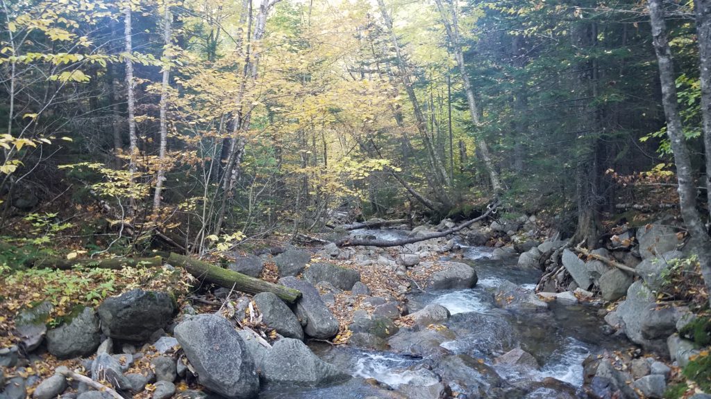
I take a few photos, and then kick it in high gear. I was trying to best my previous hike here being that it was much cooler, and that I was taking the trail in reverse. It wasn’t but a few minutes later that I caught the group of 10.
After a quick conversation, I ended up hiking with them. Being that I had hiked this before, I knew what to expect, and guided them up the trail. Well, all but ZenDurance. He was a fast paced hiker, and took the lead most of the way.
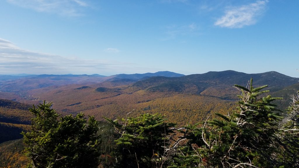
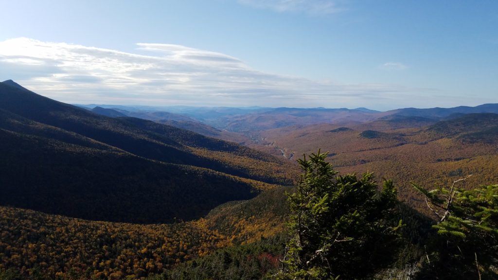
We had come to an opening, and stopped to take pictures. What a gorgeous morning it was!
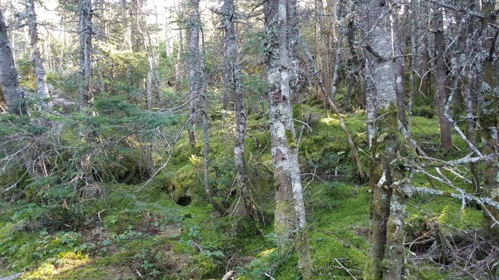
We continued on and came back into the tree line. We then came across this fully engulfed mossy area. So cool.
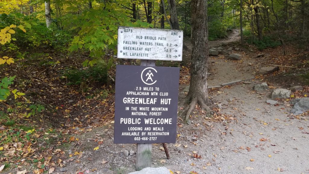
I had told them about Greenleaf Hut. We were not too far away. It is where thru-hikers, and others can stay overnight in shared rooms with 6 beds per room. Triple bunk style. They also serve you breakfast and dinner. The Appalachian Mountain Club (AMC) manages the hut. AMC members can stay for $120 a night, and non-members at $145. Reservations must be made at least 6 months in advance.
Moments later, we round the corner, and finally arrive at the hut.
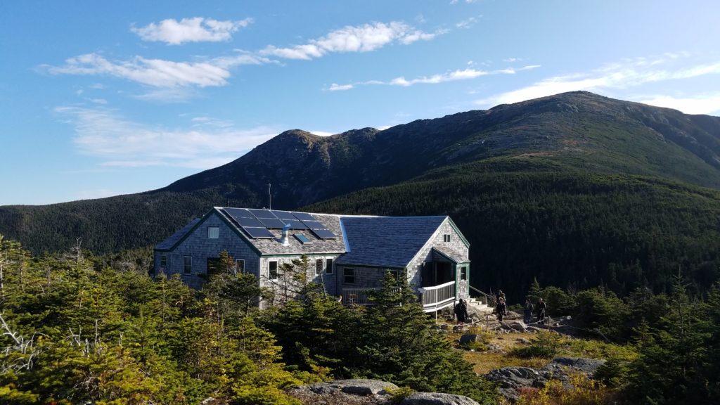
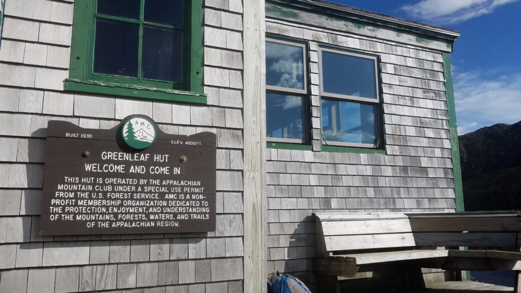
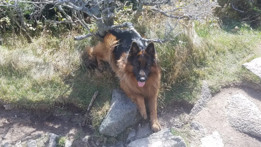
We all took a short break inside, and had some snacks. They really liked the place, as most had never seen an AT Hut before. We go to leave and find someone had tied their dog up outside. It was well behaved for sure.
We all turned and headed back to the trail. SheBeChEllen took the lead. Not soon after, ZenDurance resumed the lead.
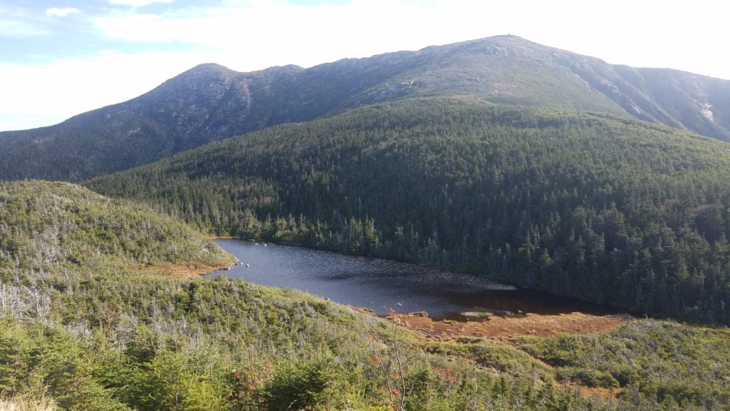
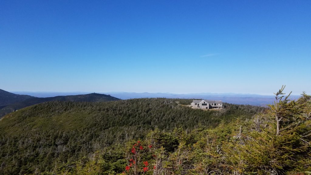
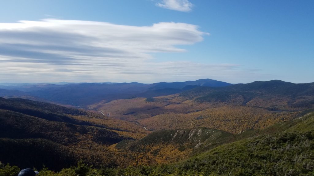
We came across another opening, and stopped for a few. We had just over a mile to go to reach the top. I put my phone away until we got to the top. Others were thoroughly enjoying the trip and taking many photos.
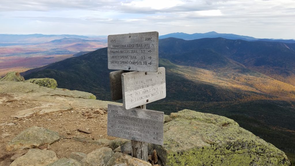
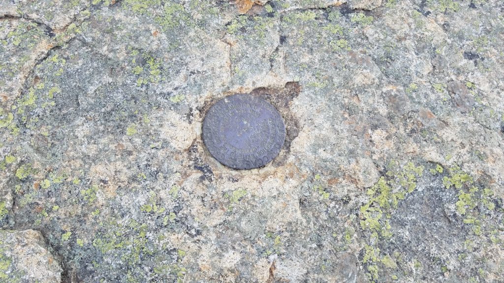
At last, we made it to the top of Mt Lafayette. 5,289 feet up. There was a Nor Easter in the NE bay which shared 50-60mph winds up top. It made it difficult to stand at times.
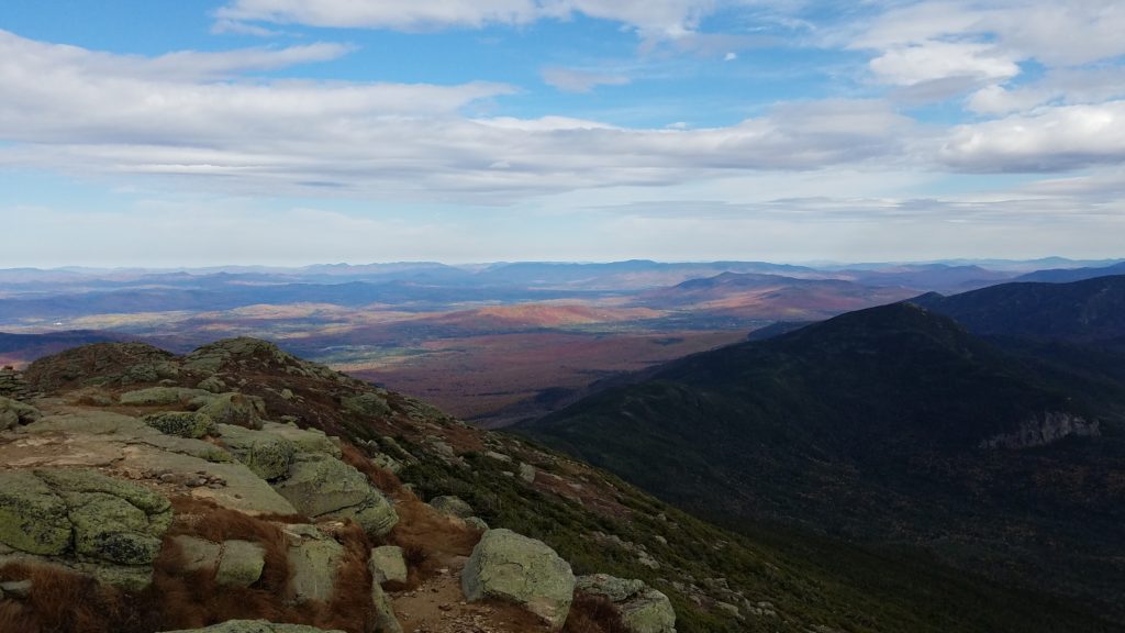
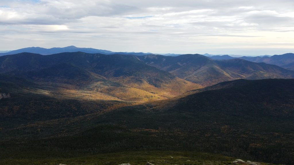
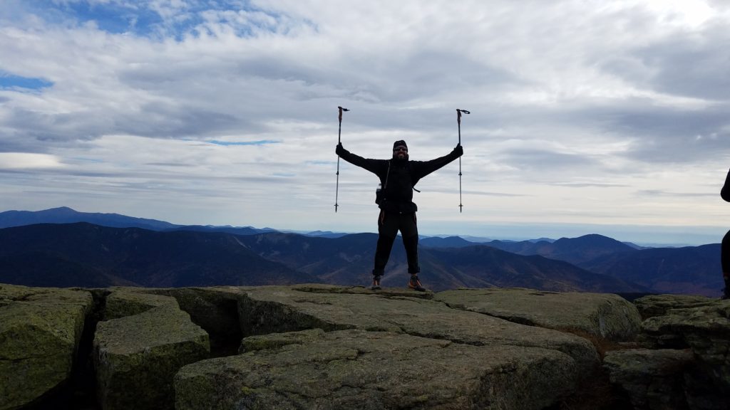
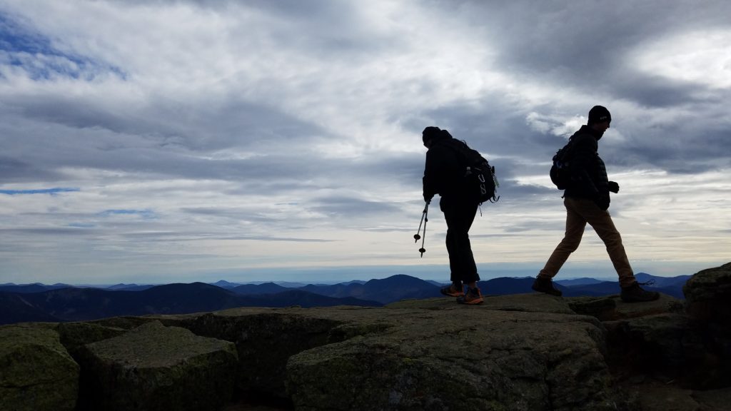
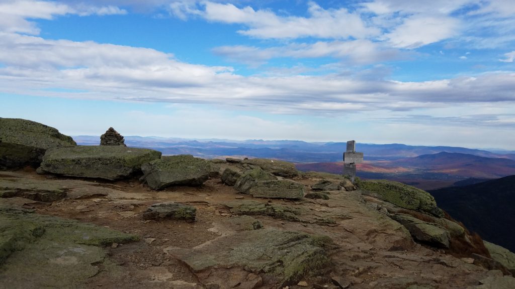
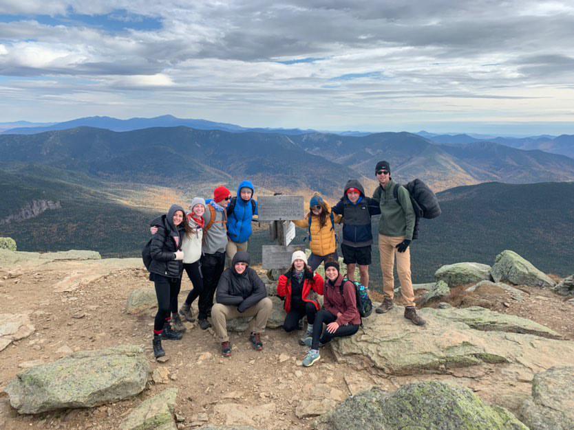
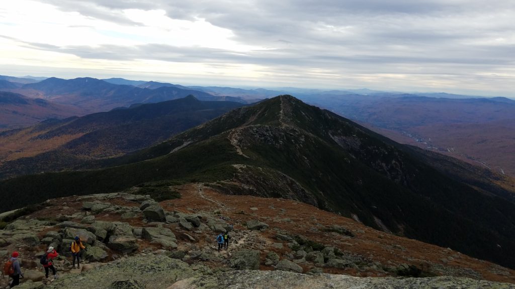
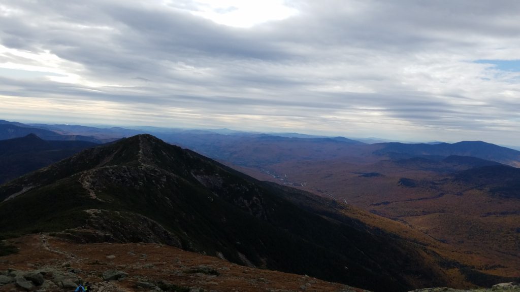
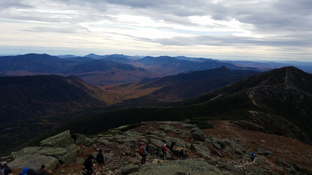
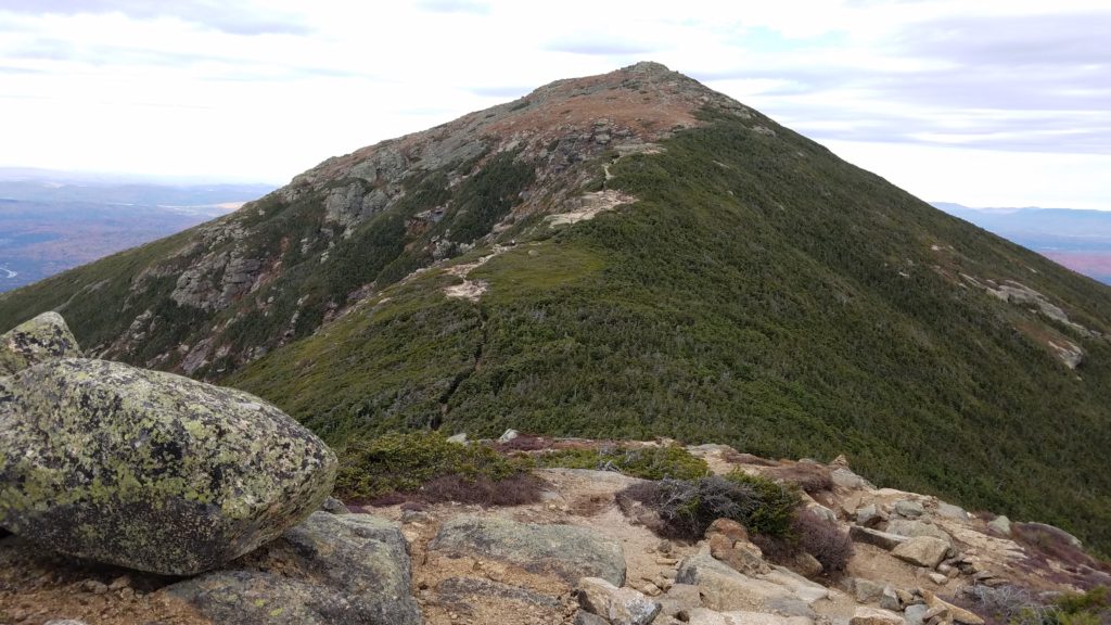
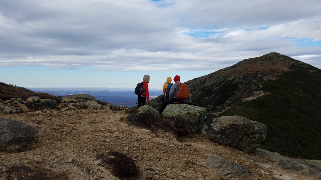
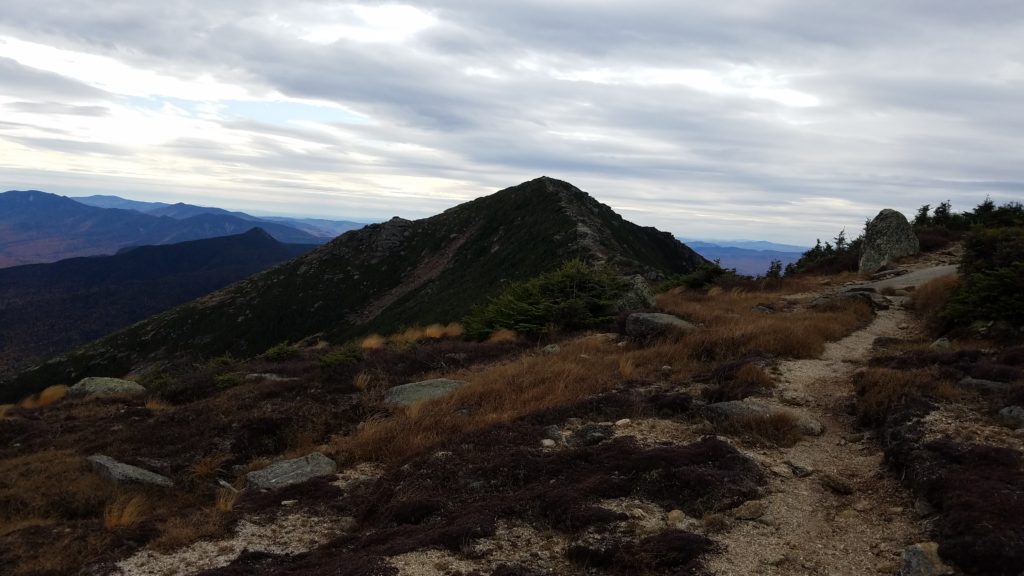
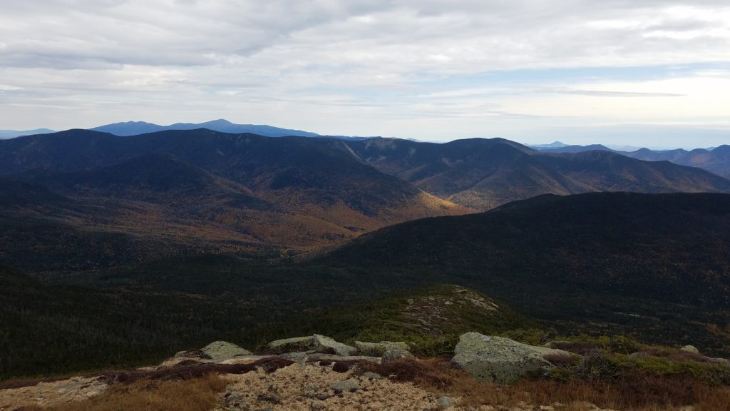
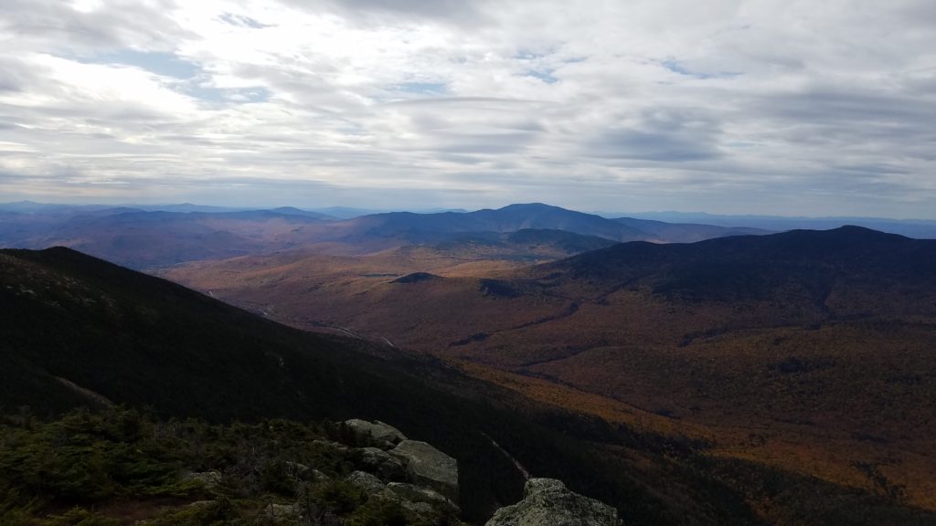
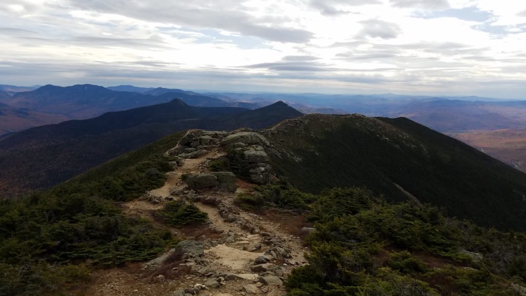
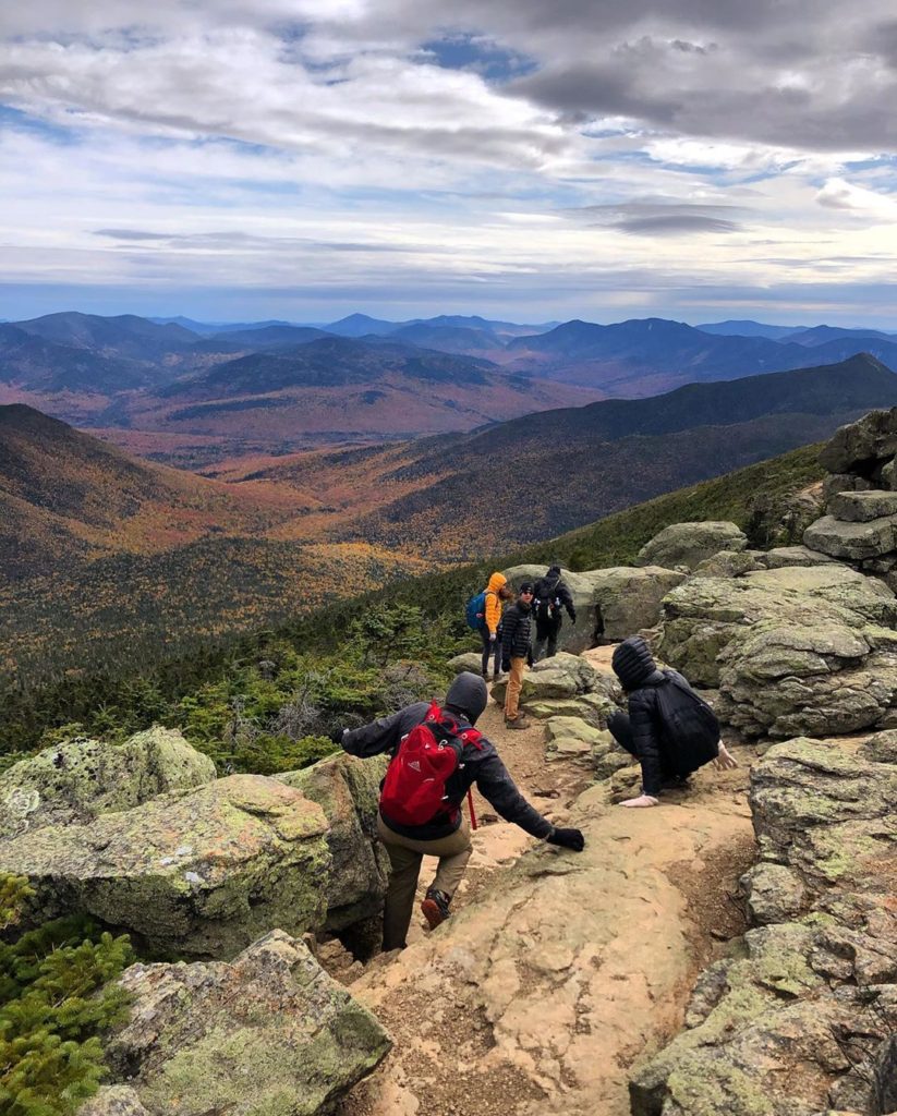
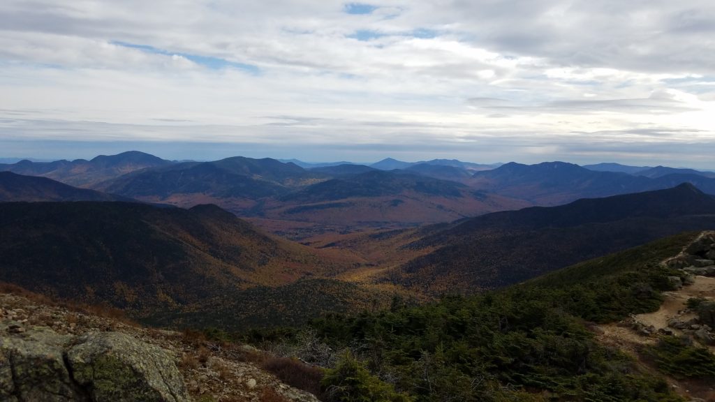
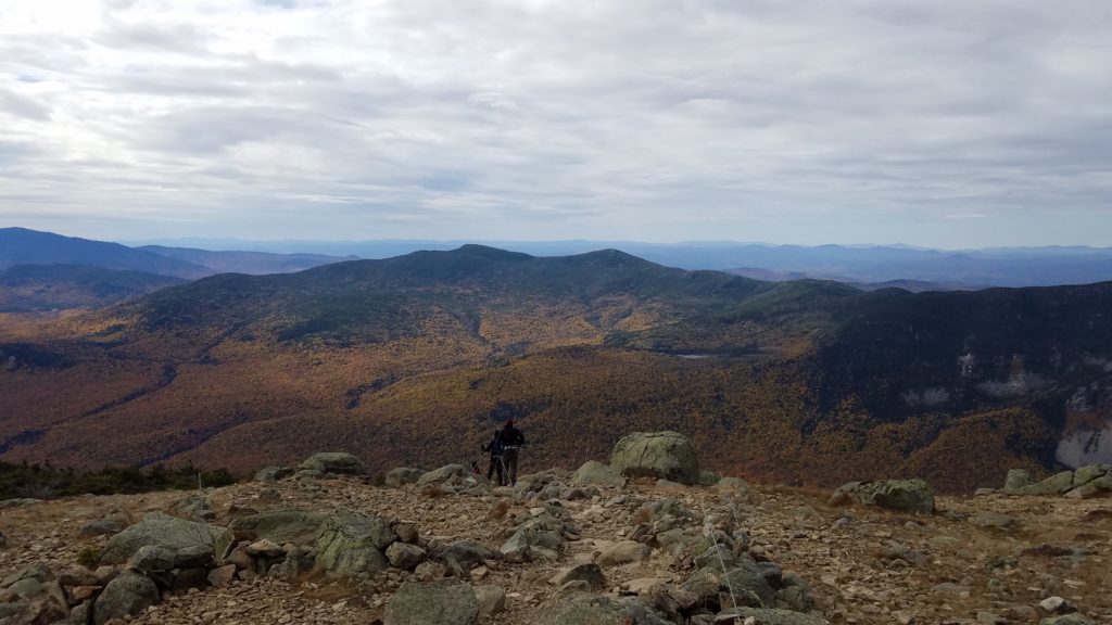
We were on the top of Little Haystack Mountain. In the above photo, hikers can be seen heading down toward Shining Rock Cliff, on Falling Waters trail.
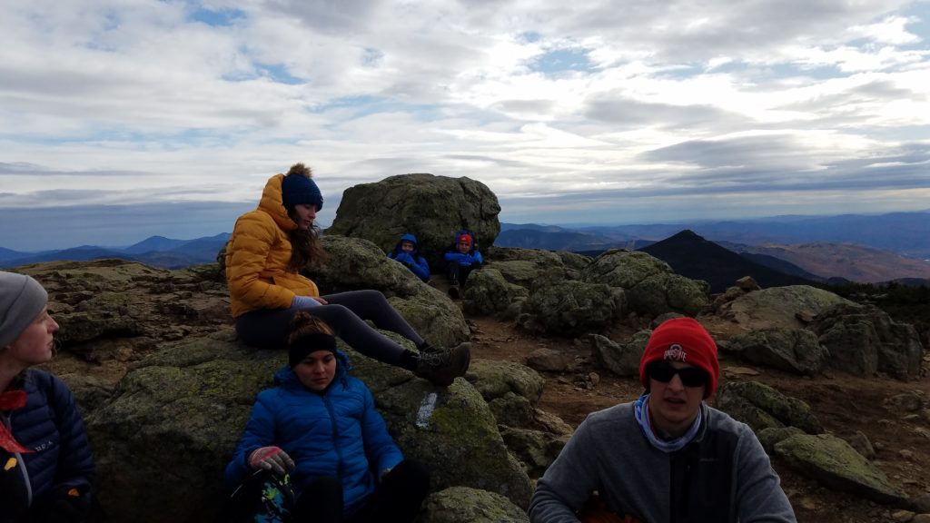
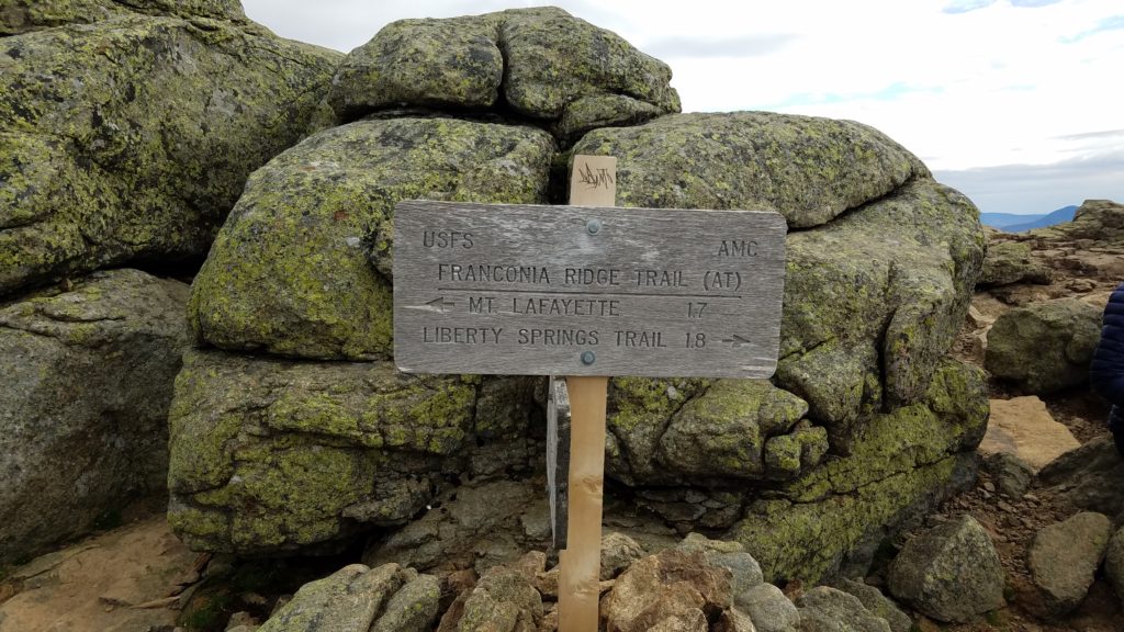
Unbeknownst to many hikers on this loop, the Knifes Edge Ridge is also part of the AT. Thru-hikers come off the AT and either go down to the Greenleaf Hut, or ahead to Liberty Campsite just below Mt Liberty.
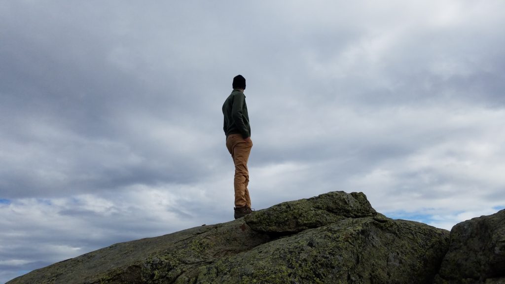
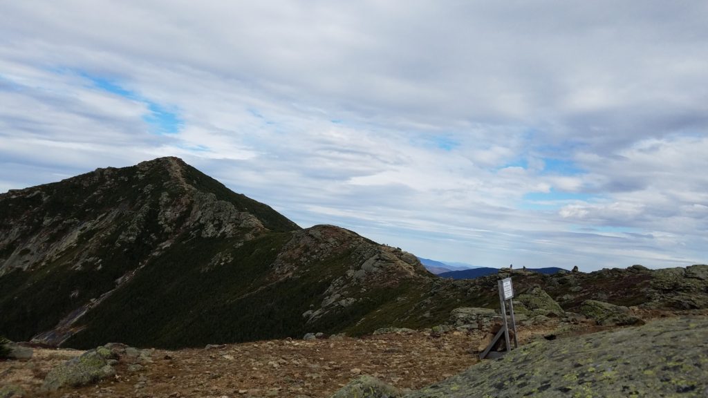
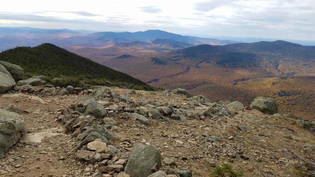
I let the crew head down while I got some last minute photos. Who knows when I will be back up there next.
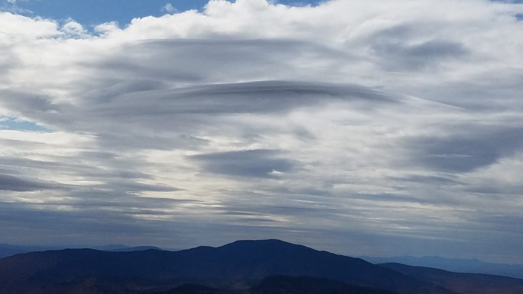
One of the trails biggest fascinations, the katana blade clouds. So bizarre.
I went down the rocky descent, and entered the tree line. I had just caught up to the group. They had stopped to shed some layers.
Did I mention this hike is what some call an absolute knee-killer? So thankful for my trekking poles.
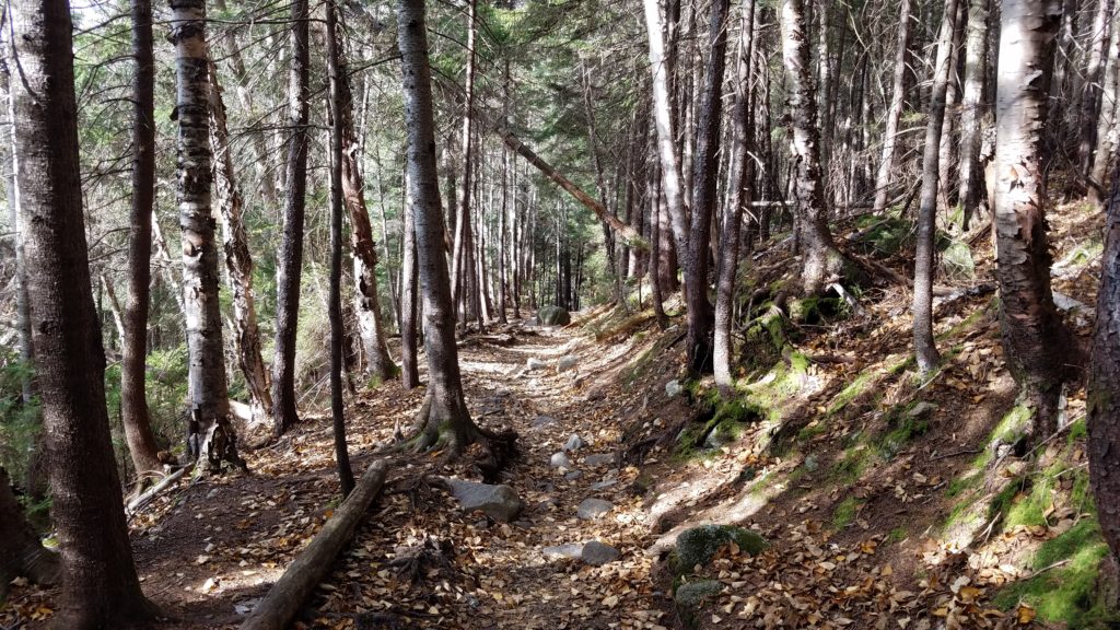
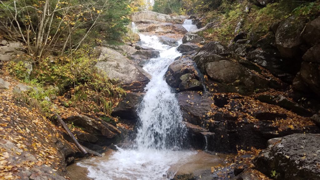
Bring on the waterfalls!! I tend to always set my hikes up to get the best for last. Kind of like dessert at the end.
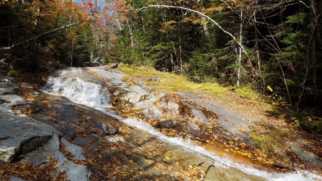
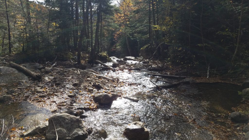
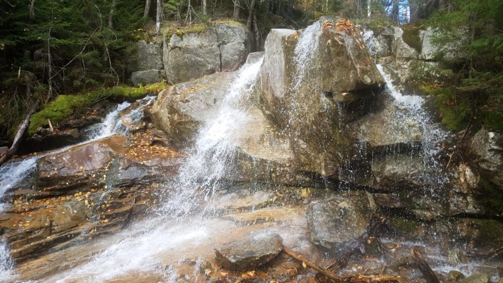
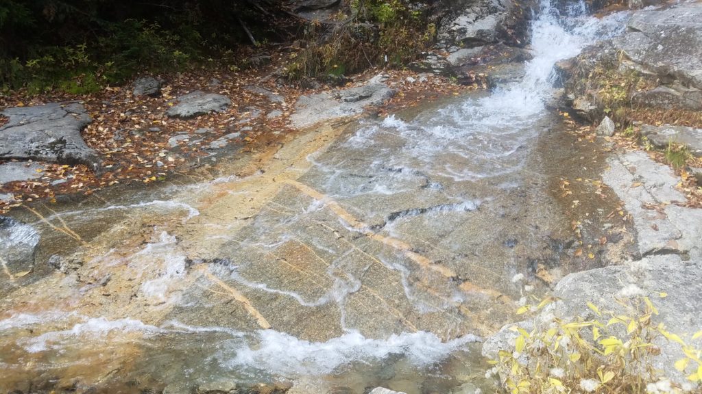
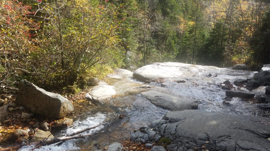
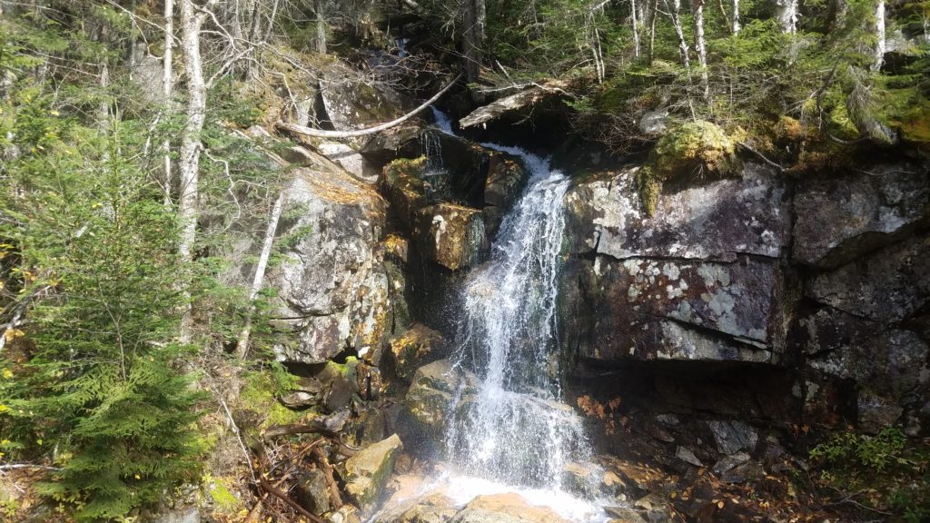
Then came the mother of all… a 60+ foot high cascading waterfall that was absolutely mind blowing. Unfortunately, my website hosting company won’t allow video files. Grrr…
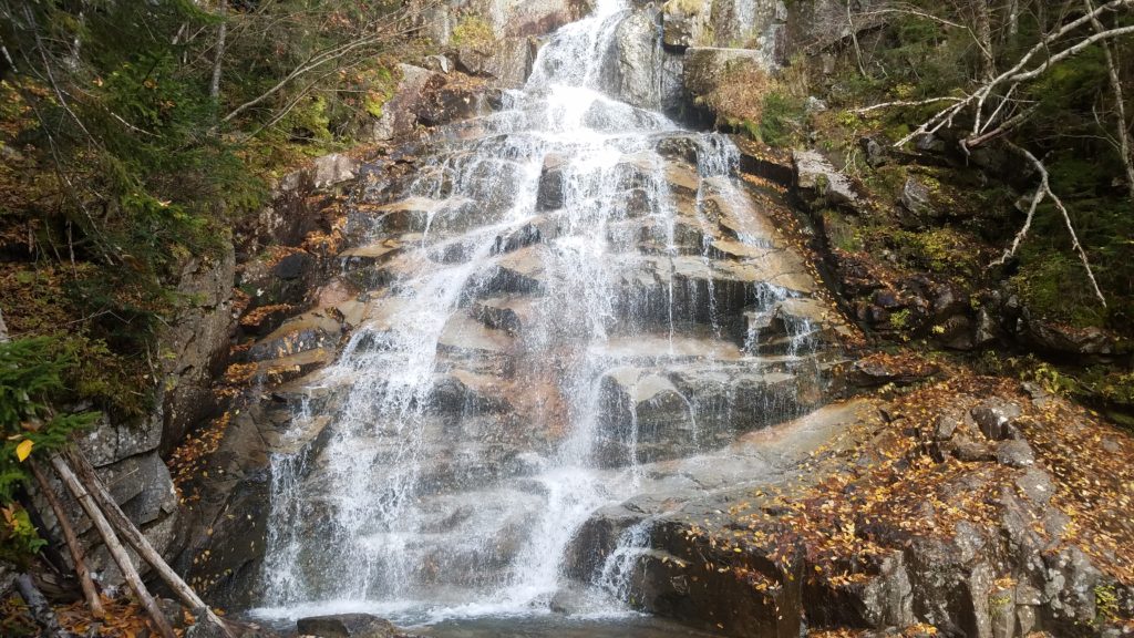
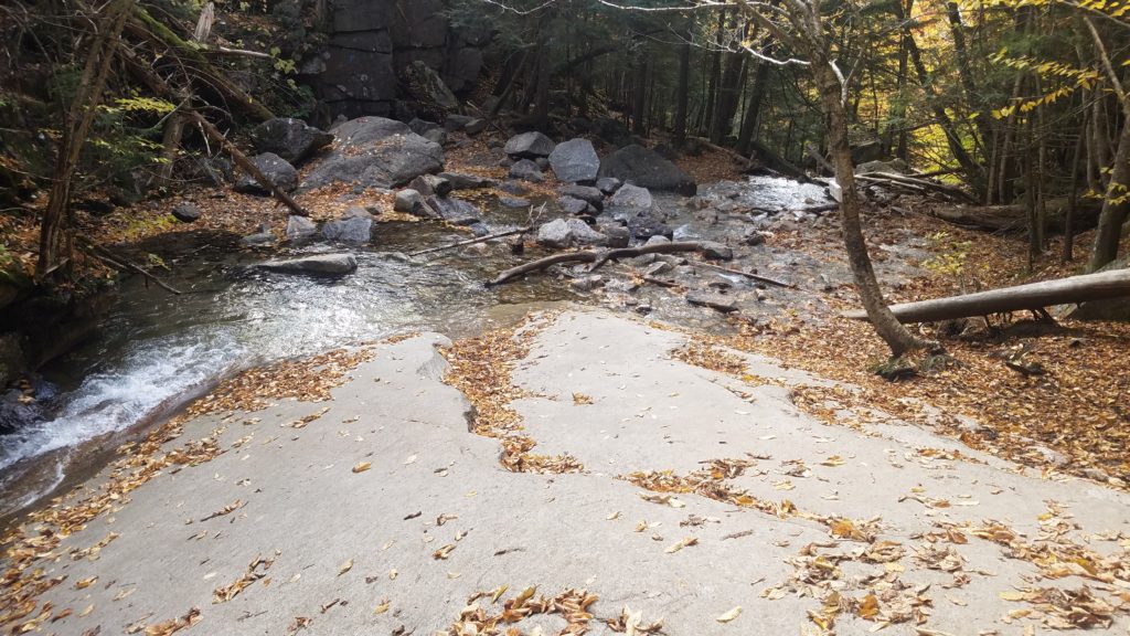
As you see above, the smooth rock was already slick, adding leaves just made it more challenging to go down. Add water, and you have a genuine slip and slide. Just ask Fish. Ha!
This was the last photo I took. It was something to always look back on.
I had rounded the corner, and saw 8 of the 10 sitting down resting. Only NatureBoyE, and SheLeads were still on the trail, but returned shortly after I did. They put together this wonderful trip. It was very nice of them.
I must say, for planning to do this brutal hike alone, and then ending up with some Buckeye love, it was just absolutely amazing. I definitely look forward to doing more hikes together with them in Ohio and other areas.
GO BUCKEYES!!
Miles: 9
Time: Moving = 5 hours 51 minutes Total = 8 hours 26 minutes
Elevation gain: 3,822 feet Max Elevation: 5,289 feet

 Previous Post