Paintbrush Divide – Grand Teton NP – Wyoming
August 22nd, 2019
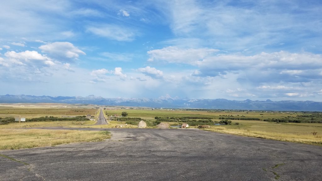
I left my hotel on the 21st, and began driving down to Jackson, WY. Wow, I did not know Montana had so many beautiful parks, rivers, lakes, and a share of the Rocky Mountains. I’d move there tomorrow if it were possible in my life right now.
Wyoming and it’s dirt roads are another story. Not meant for my Honda Accord. Thus, I had to take the long way around to Jackson, WY.
I stopped in town to get gas. I went inside to get a drink, and asked the attendant about nearby campsites. He suggested one right in the middle of elk country. That’s where I went.
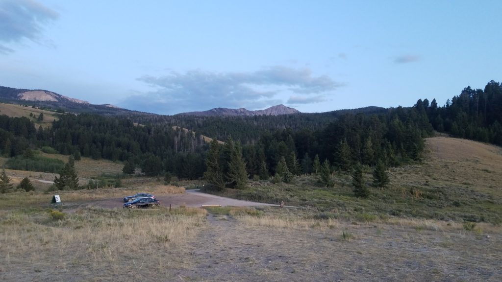
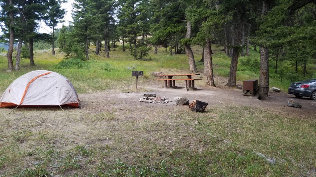
I found a spot directly in the rear, and set up. Here, it was the closest spot to the forest. You know, where bears, coyotes, elk, and so forth will come through first. No one else wanted it. Needless to say, I slept with my firearm next to me.
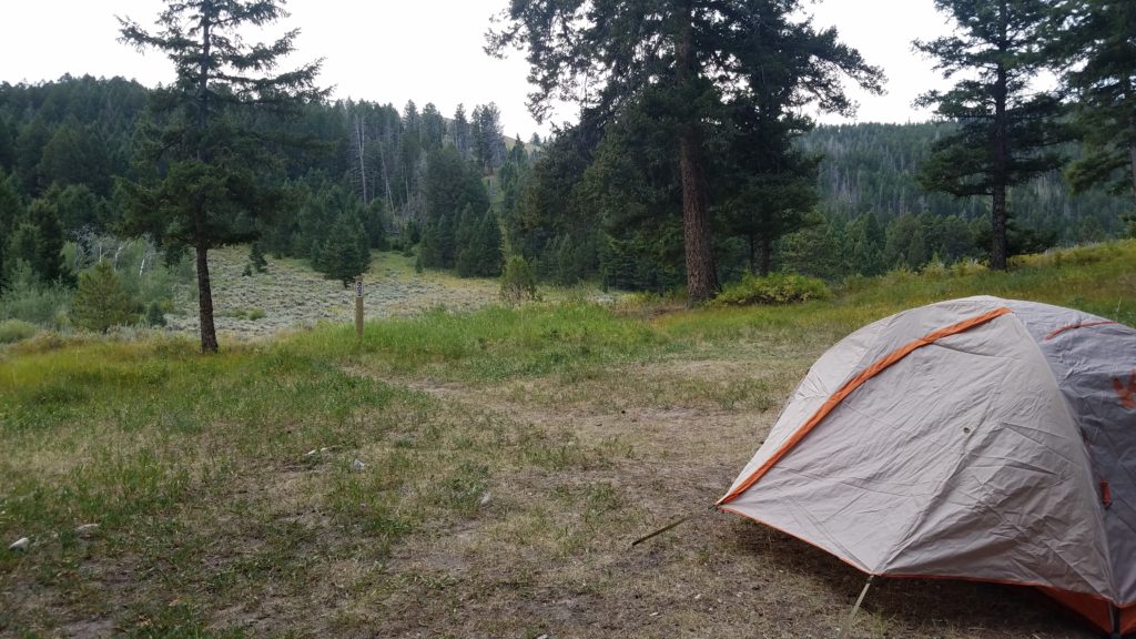
I met the couple next to my site, whom were in the midst of moving to Vancouver, BC from Montreal, QC. Quite the trip if you ask me. Very cool people.
I got a good nights sleep, woke up early, and packed up.
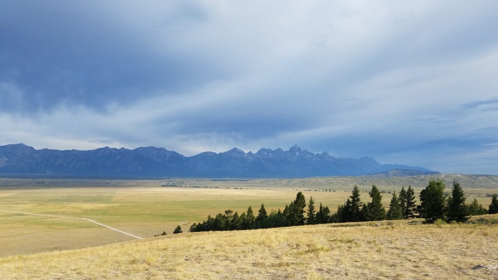
As you see, there was an overcast looming. Not the most pleasant sight for a day of hiking.
My plan was to hike the same mountain that Sylvester Stallone did in Rocky IV. I never did find out exactly which one it was. I decided to simply drive over to the park, and find a trailhead, and park there.
I drive along the park road, and pull over for a minute to check my AllTrails app for nearby trails. I found a trailhead that was just up the road another mile or so. I start driving and suddenly a pronghorn antelope starts running in line with me.
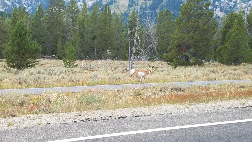
It matched my every move. If I went slow, it went slow. If I sped up, it sped up. I then sped up to 25-30mph. It paced me for a short while, and fell off. A very interesting creature.
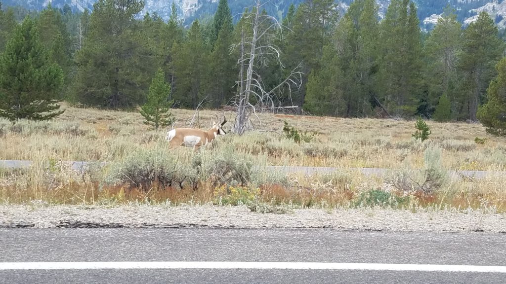
After a few minutes, I pulled into the nearest trailhead. Nature was calling. I parked, and got settled in. I noticed a guy behind me getting ready to hike. I start a conversation, and eventually ask him which trail he was going on. He simply pointed up at the triangular peak, and said “See you up there.” He then took off on the trail.
Oddly enough, he told me he was from New Hampshire. I told him I hiked there last August at the Franconia Notch. That I ate in Littleton. He mentioned that they live in Littleton and teach in Franconia. Small world.
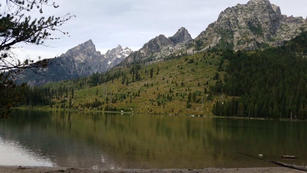
I begin hiking. I have my day pack on, 3L bladder is full, and two reserve bottles of water as well. I packed some Clif bars, Old Trapper beef sticks, and Combos. I was good to go for a what I was thinking was going to be a short hike.
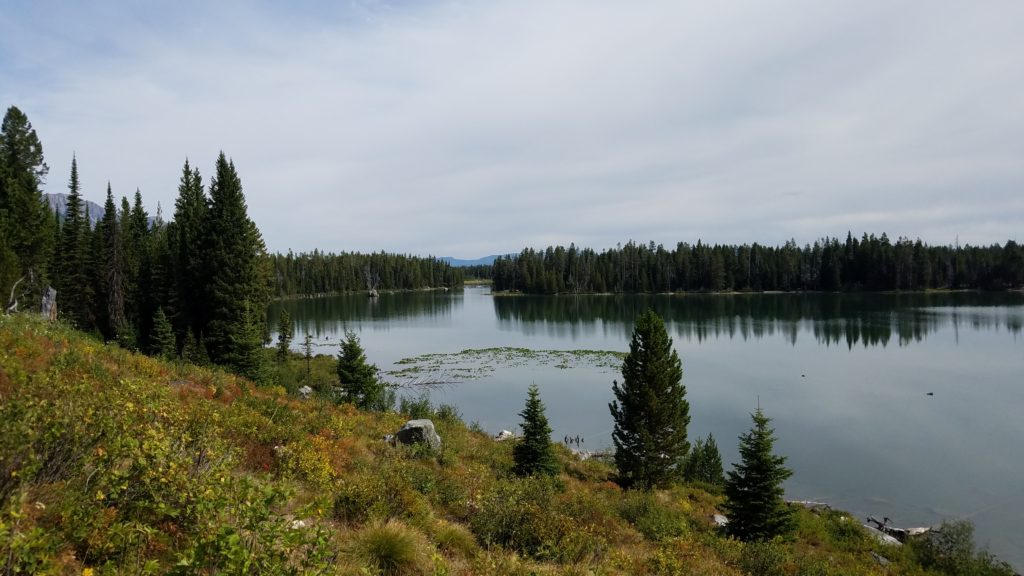
I looked up and thought, “Hmmm… let’s go to the top of that peak.”
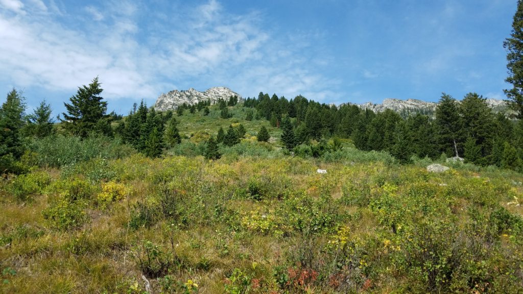
With elevation, looks can be very deceiving. This was a sure case of that.
I noticed several spots on the trail where horses had done their business. Sure enough, here came 6 horseback riders down the trail. The guide said they travel this trail every morning. Lovely. It smelled terrific… not. That and dodging horse manure for a mile or so was quite unpleasant.
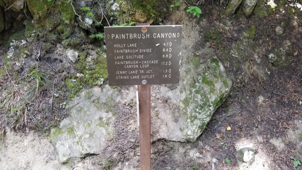
I see this sign, and decided I would go up to Holly Lake, possibly to the Paintbrush Divide. I only wanted to get in less than 10 miles of hiking.
I pass a few backpackers here and there, and they all said they slept at campsites on this trail overnight. To make sure and go to Holly Lake.
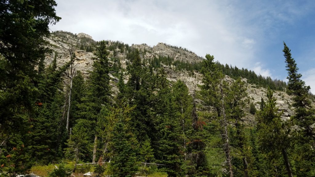
I look up and see that I am inching closer.
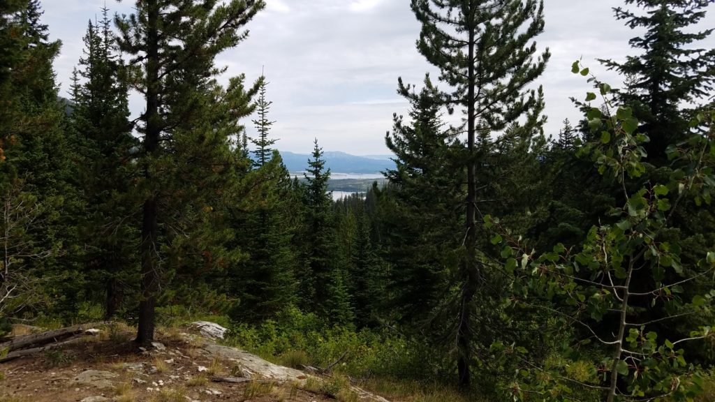
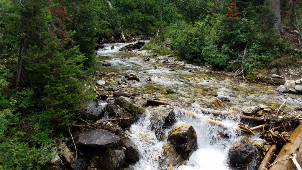
After a few switchbacks, climbing higher and higher, I stop and take a couple more photos.
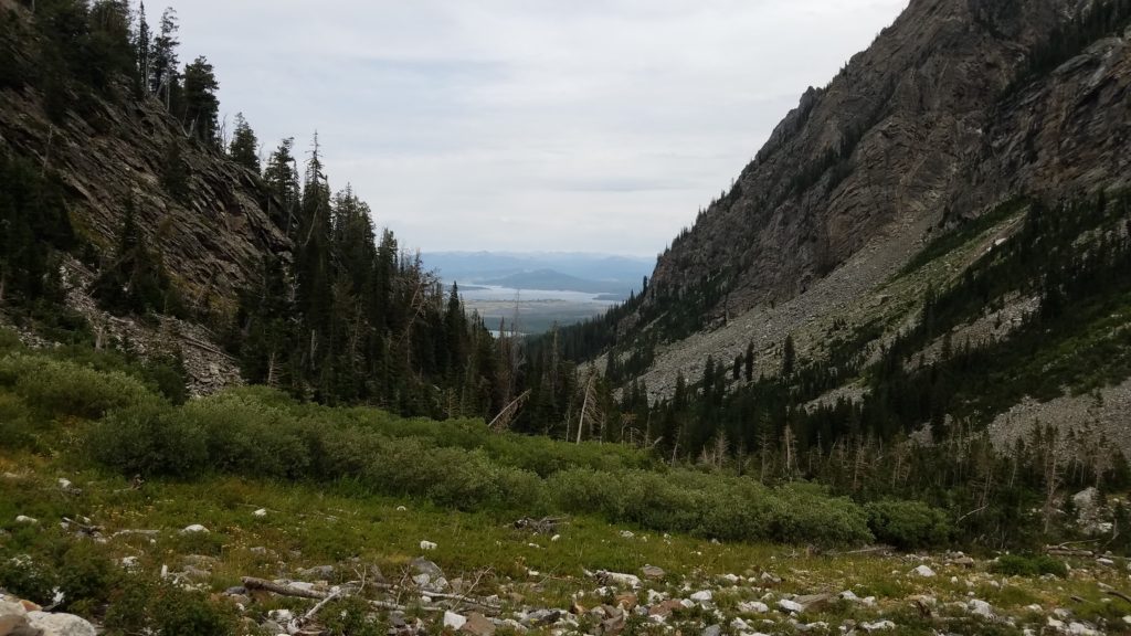
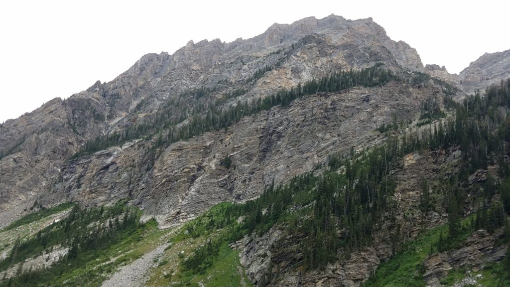
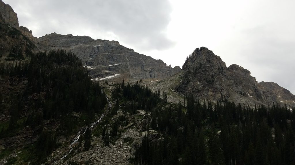
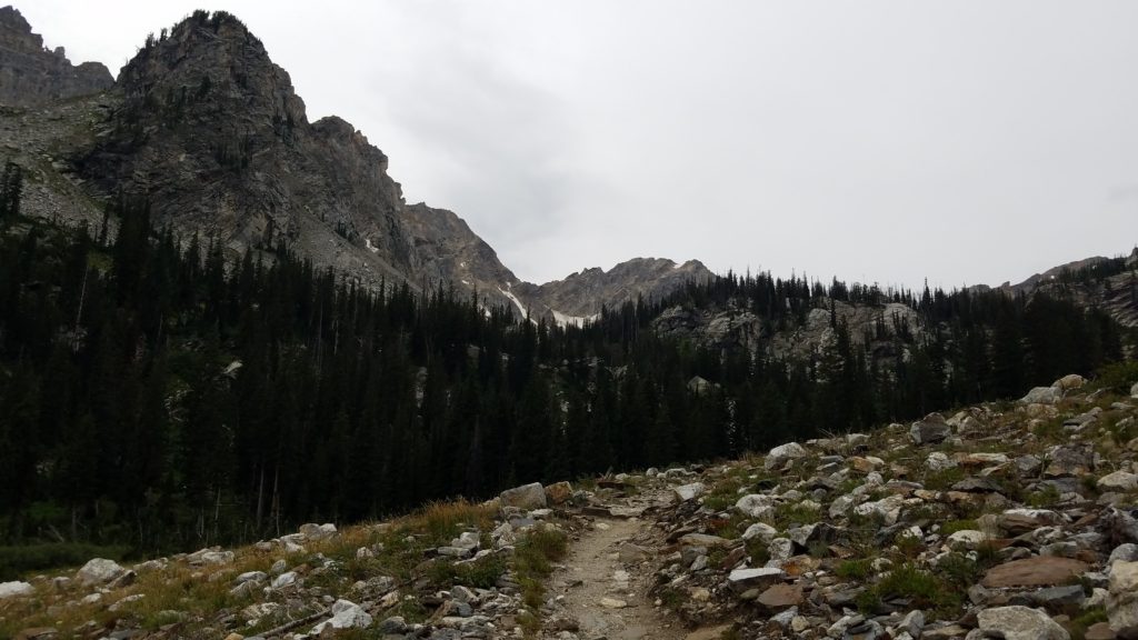
It was in this area that I saw a yellow bellied marmot, and an all black marmot. Very rare I am told.
I had met a couple coming down that warned me of false trails that people tried to make that presented dangerous paths. They said they tried to block them off. Note taken.
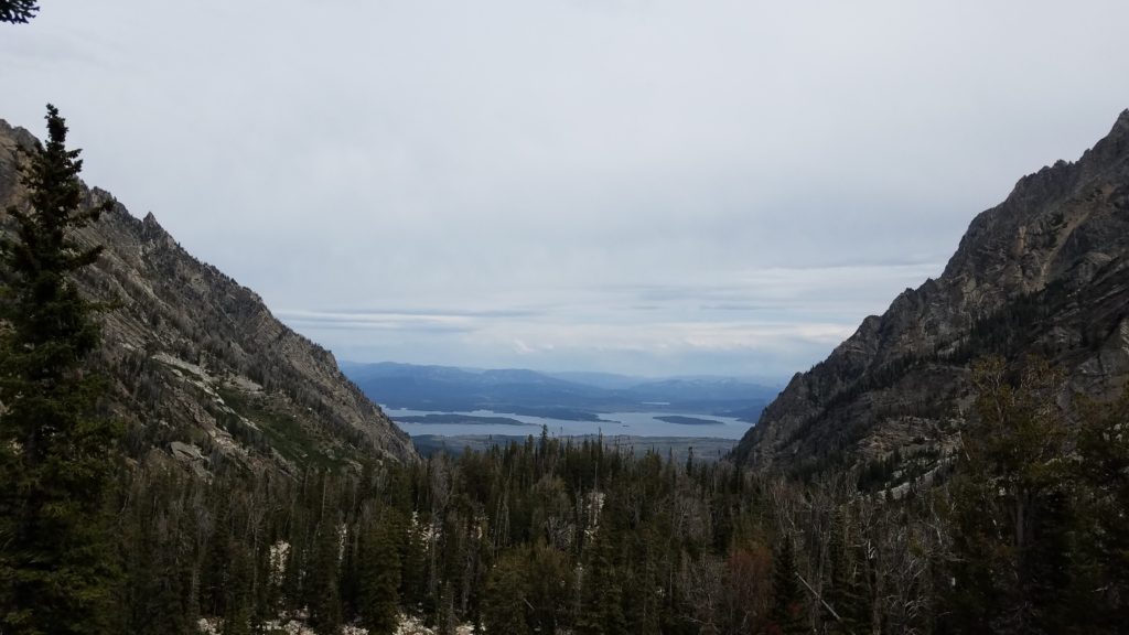
As I took the above photo, two very nice women approached me. One of their names was Jen. She offered to take a photo of me. Thank you Jen!
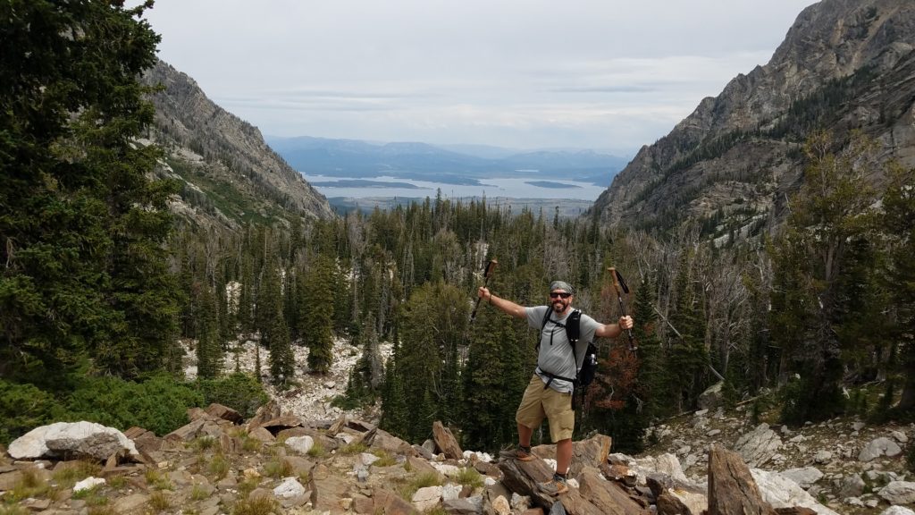
I get back on the trail, and in just a few minutes I reach my proposed destination. Holly Lake.
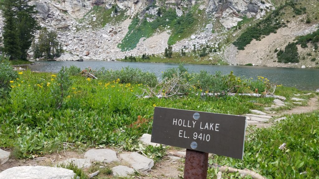
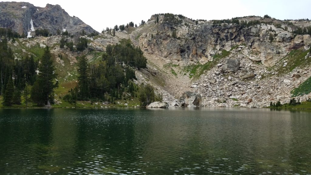
As I turn to head back down the trail, I see a sign stating that the Paintbrush Divide is just a couple miles further. Some other hikers also suggested to me to go see it, that it was worth it.
In true “summit fever” fashion, I went for it. Bring on the Divide!
Little did I realize what I was in for. A near death experience.
It wasn’t the snow covering the steep slopes where the trail crossed, and if you slipped and fell, you were sure to perish on the way down. Not at all. I had my trekking poles fully engaged.
It wasn’t the steep switchbacks either. As some hikers came down, they mentioned there was a bit of a scramble involved, but smooth sailing after that.
Onward I went. As you see in the photo below, the trail is on a steep grade. It then switches back a couple times up the steep side, and then levels out onto “the divide”. Take note of the sheer elevation surrounding this photo. There was no room for error.
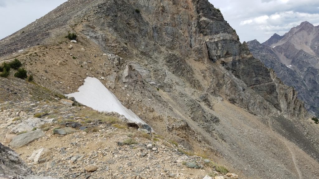
This is where The Lord saved me from certain death.
I go across the seen trail above to the lower right, head up the steep switchbacks, and notice the trail split. This is what other hikers had warned me off. Was this the scramble? Was it the place where a false trail was made?
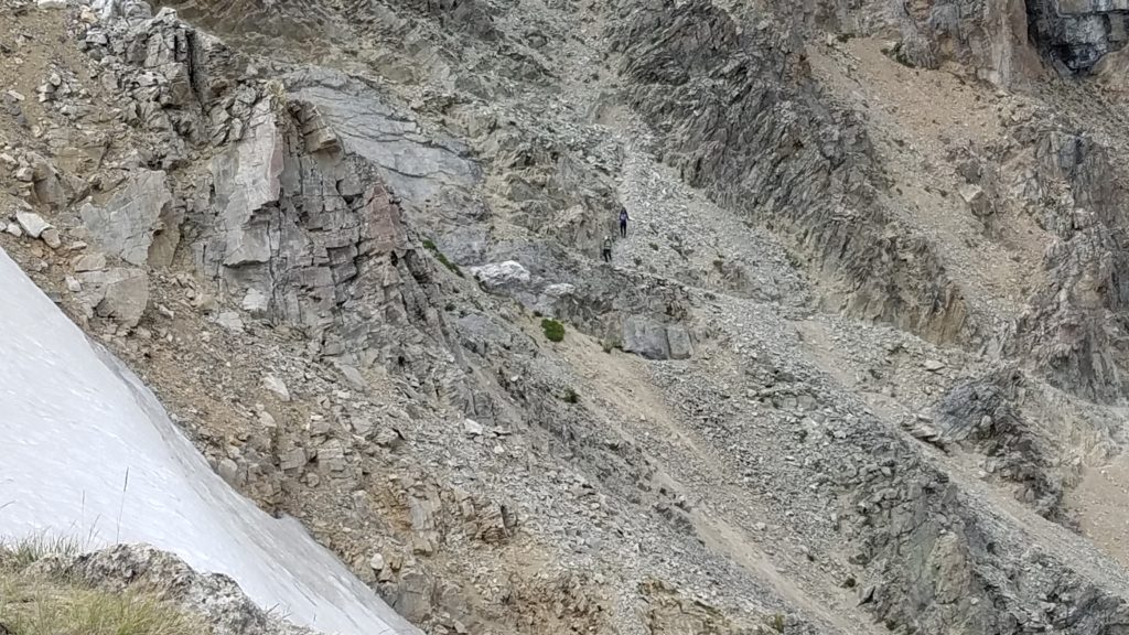
In the above photo, you can see two hikers (center) coming down the switchbacks very carefully. This is exactly where the trail splits and some “unfortunate” individual made a false trail. Where you see the lower hiker, is where I went straight instead of turning right.
As you can see, by going straight, you head directly to the cliff, and straight up the rock face. Well, yours truly thought this was the scramble portion. I reach up with one hand, place my foot on a ledge, and start climbing up. Before I knew it, I was 20 feet up from where I started and hanging on with my finger tips. How I carried my trekking poles in one hand is beyond me.
Of course, I do what you aren’t supposed to, and look down. While it presented a view few have likely seen, it was a clear two to three thousand foot fall down.
The two in the photo had passed me on the trail and got to the top of the divide. They were sitting up there eating, when I was faced with this situation. I look up and clearly there is at least 10-15 feet or more of climbing to go. I turn, and yell as loud as I can to them. I said, “Hey!! Am I on the trail or where is it?!?!” They yell back, “Go up!!” and point. I yell back, “I am!!” Then I point up. They yelled, “Yes, that is it!!” The female then drops her food and starts running to help. I go on climbing this rock face, and finally reach the trail. There were rebars that I grabbed onto and pulled myself up. I start going up the trail, and she finally got there. She asked if I was okay. So sweet and kind of her. They both agreed that I was mistaken as they almost fell for it to. I said, “Yea… I thought this trail went from HARD to situation EXTREME in a flash. This is a MAN’s trail.” They chuckled. They commented on my skills. I said, “What skills? Hanging on with my finger tips while clinging to life?!?” and smiled. I went on to tell them that this was my first true rock climbing experience. Insanity at its best.
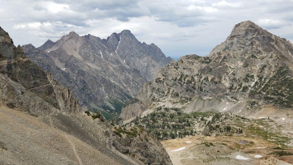
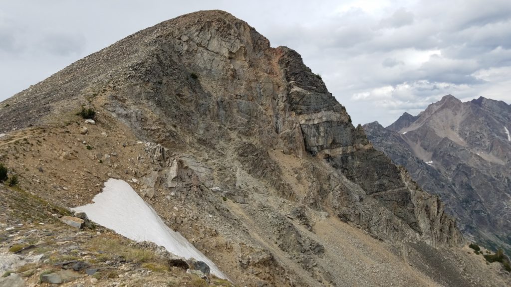
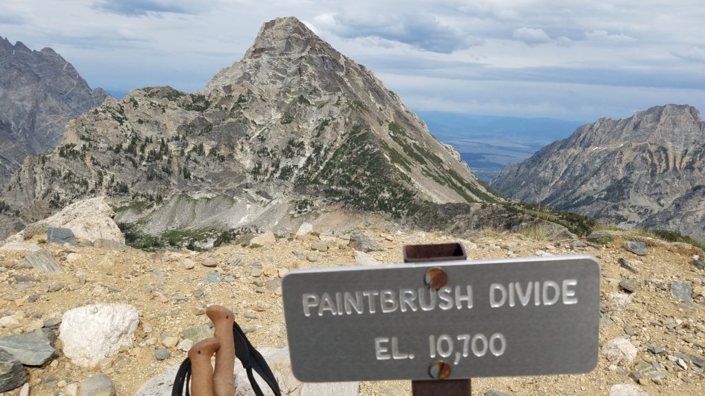
Finally, I had made it up to Paintbrush Divide. 10,700 feet up.
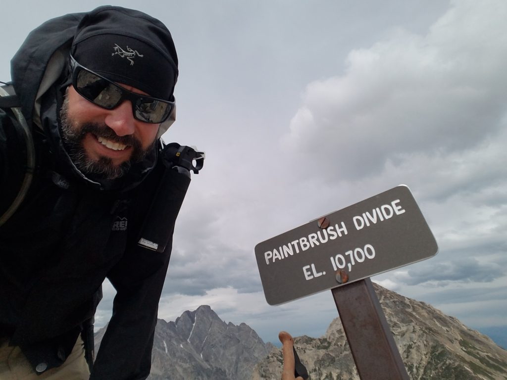
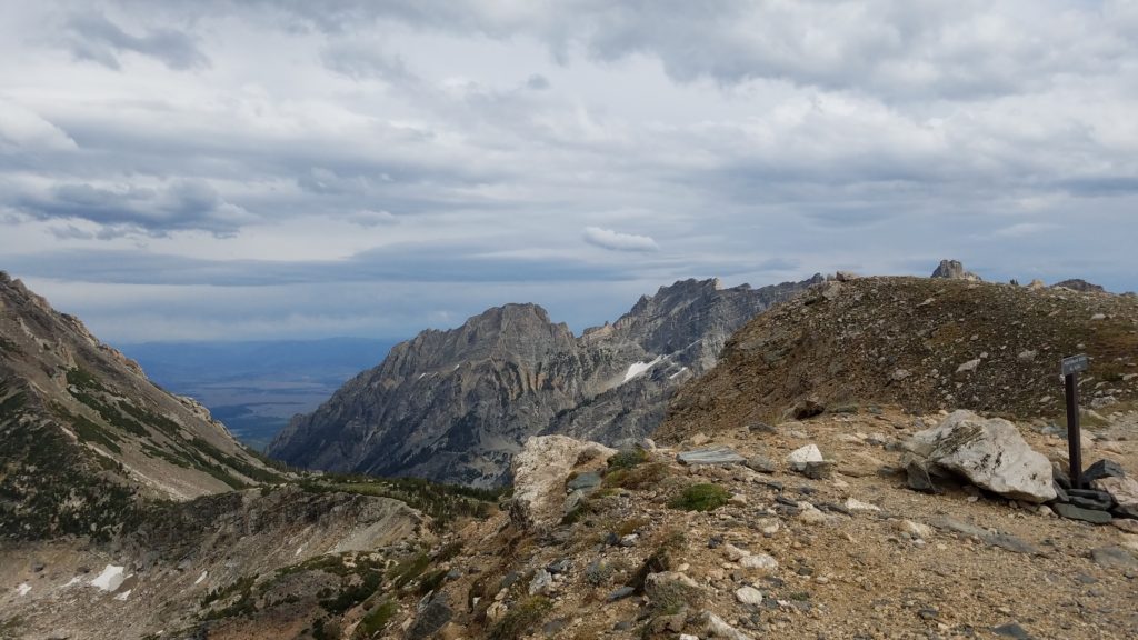
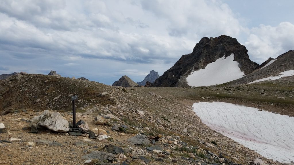
Did I say I was going on a short hike? Wow… I absolutely surpassed that idea. I was among the heavens, and above the cloud line in spots. Definitely at the snow line.
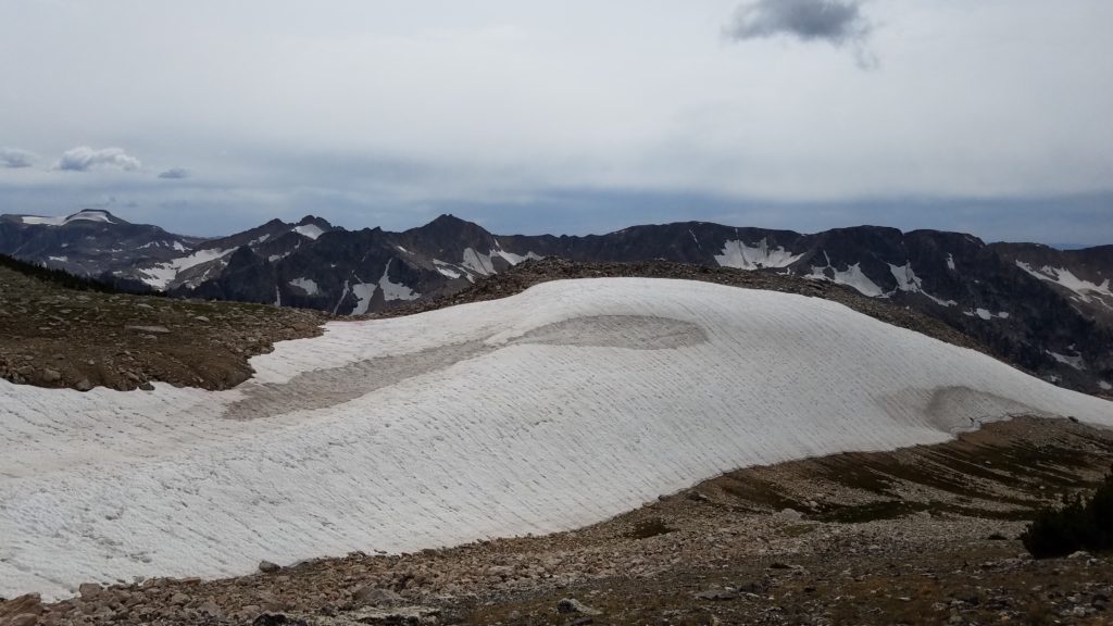
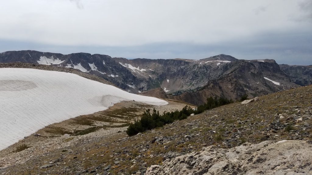
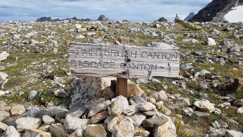
I had gone 8.3 miles. From what other hikers had told me, the whole loop was 20 miles total. I thought if I turn around it would 16.6. Why not go the whole 20? Thus, I trekked on.
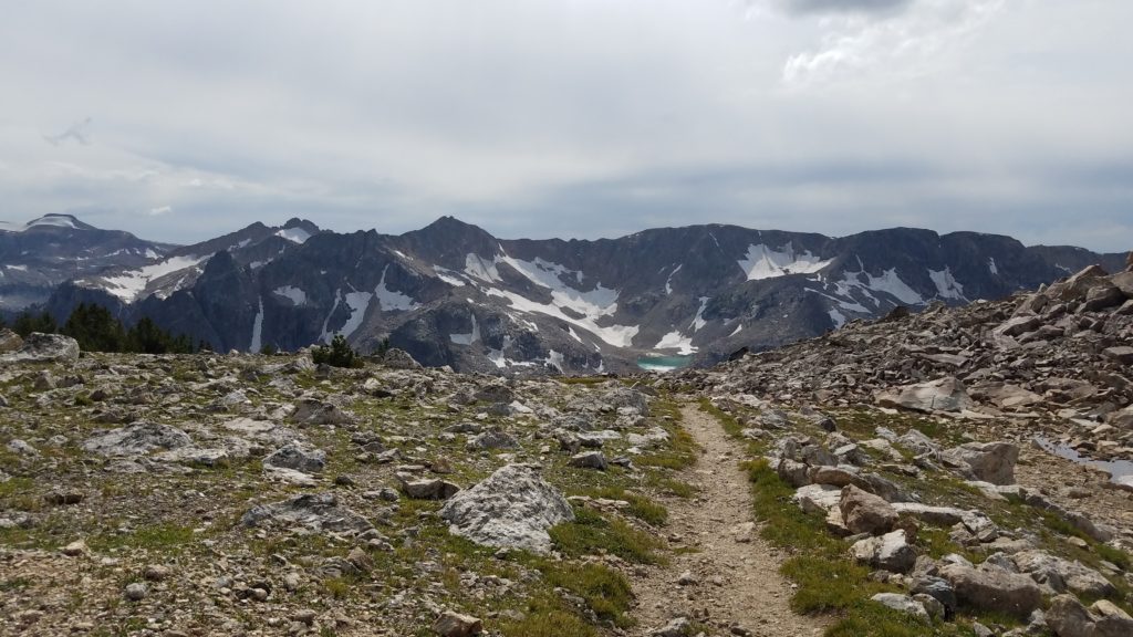
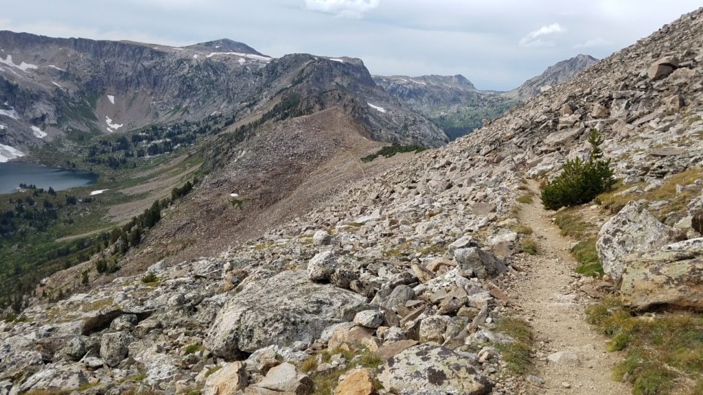
As you can see, the trail heads right down the steep ridge line directly through broken ankle alley. Over 3 miles….the longest broken ankle alley ever.
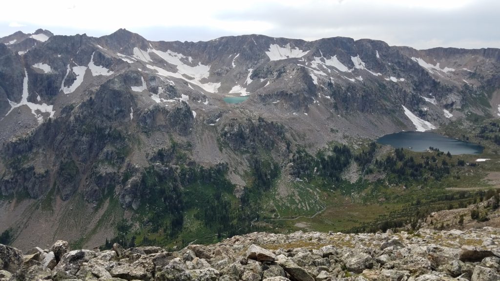
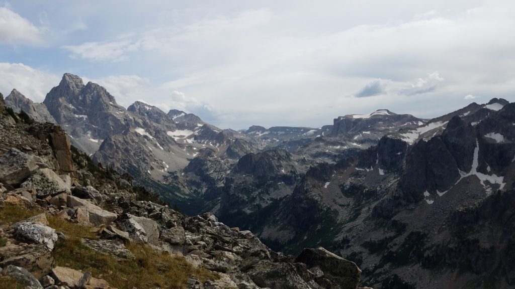
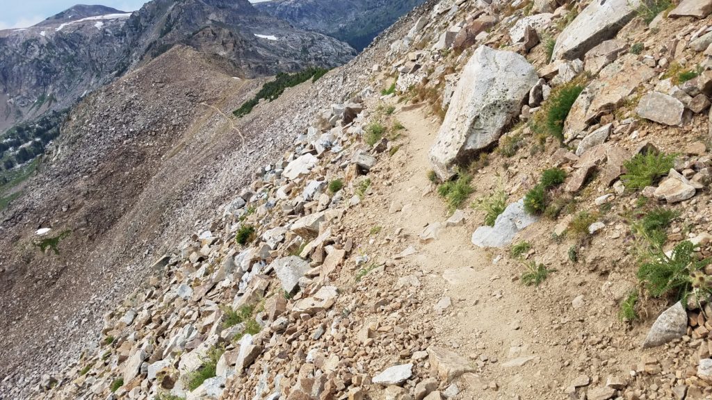
Talk about watching your step… this trail kept getting better and better. Or was it worse and worse? Seriously, there was no room for error.
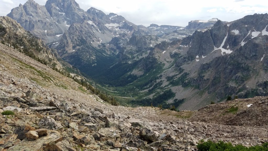
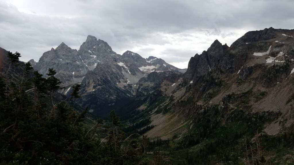
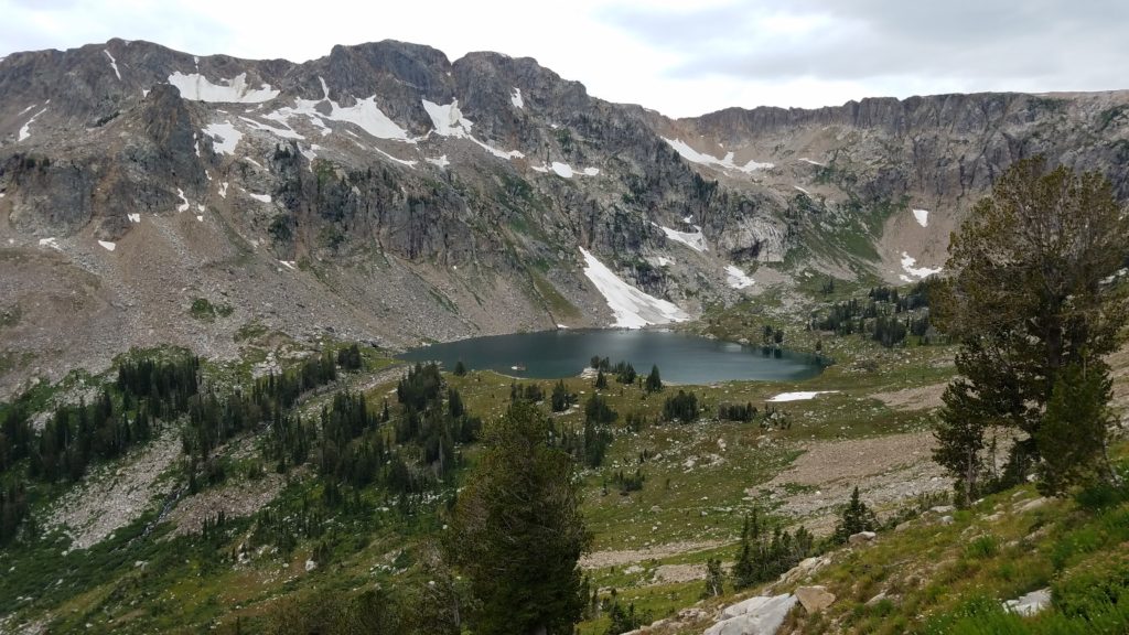
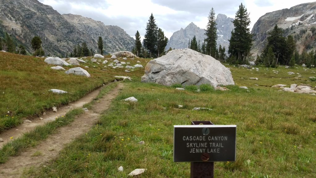
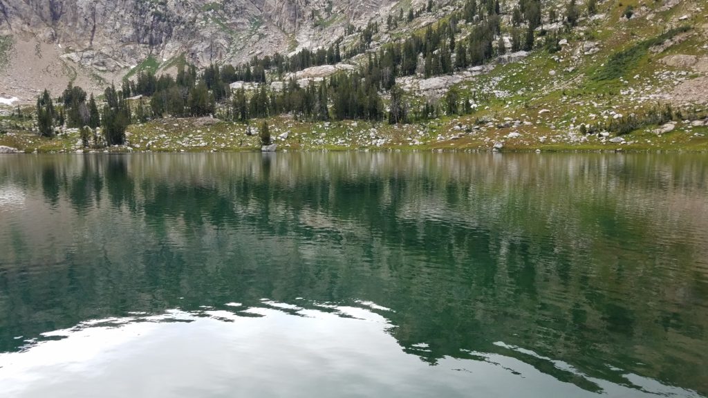
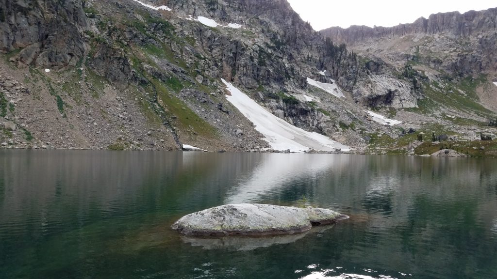
This is where I met another hiker, Sarah. As in previous hikes, I have paired up with other lone hikers to prevent animal attacks and other possible dangers. In this case, she and I paired up and headed back. She had told me it was about 13 miles back from here. 13!?! Wow.
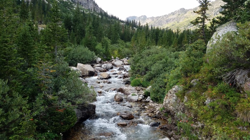
A pair of hikers approached us and mentioned that they saw a big black bear about 2 miles down the trail. Another hiker said he saw a big moose. She had even said on the way up she saw two moose. Needless to say, we were on full alert. I had bear spray on me, and my gun in the pack. She had nothing, and was very thankful she had met me.
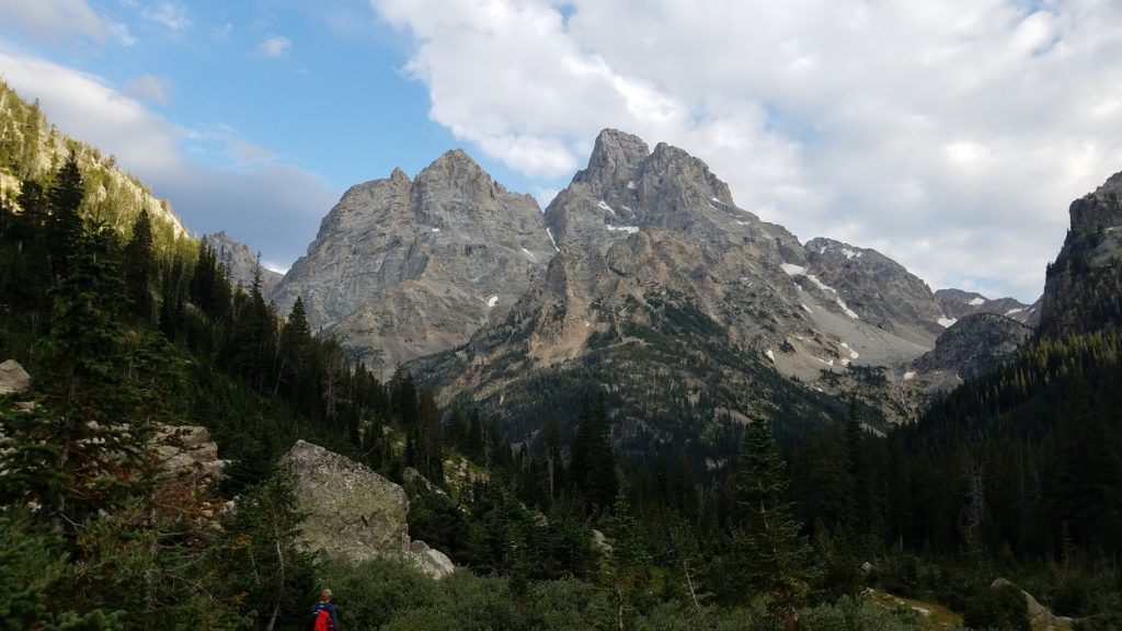
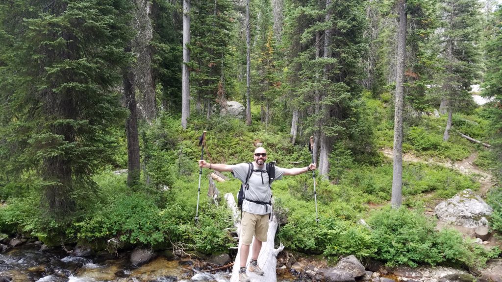
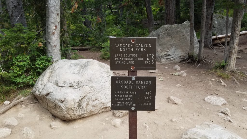
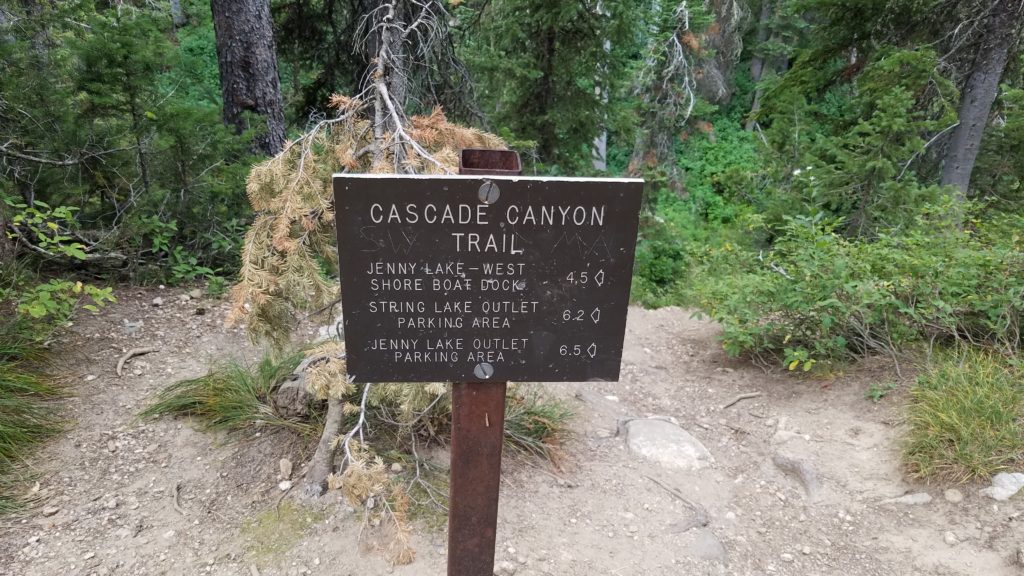
According to the sign, we had 6.5 miles to go.
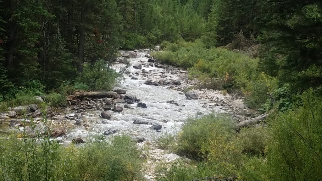
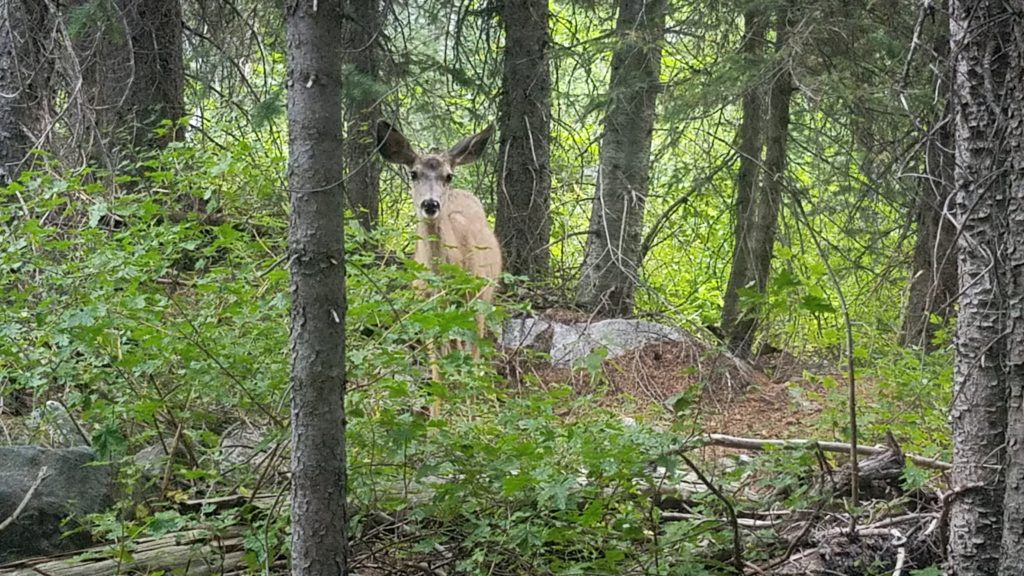
A pretty one, isn’t she?
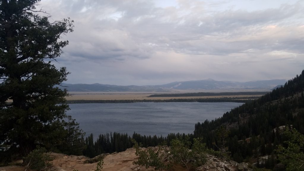
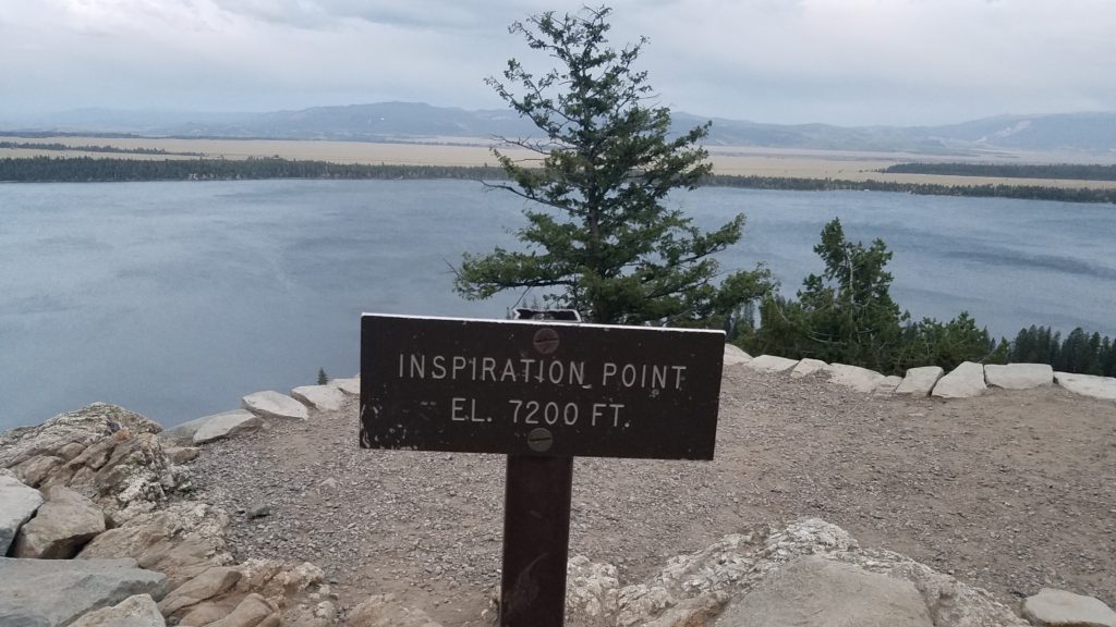
This was one of the final photos I got of this mega day hike. Fitting though.
Not long after this photo, it got dark. Especially in the forest. Fortunately, we had lights. We got back safely, and said goodbyes.
Wow.. what a hike that was. From the idea of a short hike, to the longest day hike in my life. So thankful to those I met along the way. You helped me make great memories. To the couple who gave me strength on the cliff edge, thank you from the bottom of my heart. God Bless You, and God Bless America.
Miles: 21.7
Time: Moving = 9 hours 36 minutes; Total = 11 hours
Elevation gain: 4,160 feet Max elevation: 10,700 feet
 Previous Post
 Next Post